Wadi al-Arayis | |
|---|---|
| Arabic transcription(s) | |
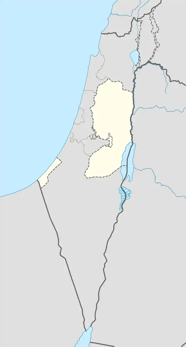 Wadi al-Arayis Location of Wadi al-Arayis within Palestine | |
| Coordinates: 31°42′39″N 35°17′4″E / 31.71083°N 35.28444°E | |
| State | State of Palestine |
| Governorate | Bethlehem |
| Government | |
| • Type | Village council |
| Population (2006) | |
| • Total | 2,169 |
Wadi al-Arayis is a Palestinian village located ten kilometers east of Bethlehem.The village is in the Bethlehem Governorate Southern West Bank. According to the Palestinian Central Bureau of Statistics, the village had a population of 2,169 in mid-year 2006.[1] The primary healthcare is obtained in al 'Ubeidiya where the Ministry of Heath have classified the care facilities as level 3.[2]
History
In the wake of the 1948 Arab–Israeli War, and after the 1949 Armistice Agreements, Wadi Arayis came under Jordanian rule.
In a 1961 census the population of Wadi Arayis was 357.[3]
Since the Six-Day War in 1967, the town has been under Israeli occupation
The population in the 1967 census conducted by the Israeli authorities was 501.[4]
Footnotes
- ↑ Projected Mid -Year Population for Bethlehem Governorate by Locality 2004- 2006 Archived 2008-06-16 at the Wayback Machine Palestinian Central Bureau of Statistics
- ↑ West Bank Healthcare
- ↑ Government of Jordan, Department of Statistics, 1964, p. 23
- ↑ Perlmann, Joel (November 2011 – February 2012). "The 1967 Census of the West Bank and Gaza Strip: A Digitized Version" (PDF). Levy Economics Institute. Retrieved 24 June 2016.
Bibliography
- Government of Jordan, Department of Statistics (1964). First Census of Population and Housing. Volume I: Final Tables; General Characteristics of the Population (PDF).
| Cities |  | |
|---|---|---|
| Municipalities | ||
| Villages |
| |
| Religion | ||
| Refugee camps | ||
| Other | ||
This article is issued from Wikipedia. The text is licensed under Creative Commons - Attribution - Sharealike. Additional terms may apply for the media files.