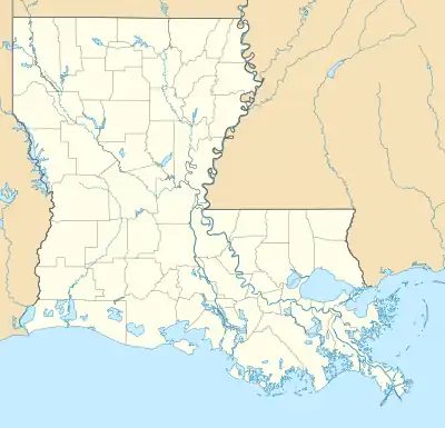
Wallace Ridge, Louisiana | |
|---|---|
| Hamlet of Wallace Ridge | |
 Wallace Ridge Location within Louisiana | |
| Coordinates: 31°41′3″N 91°50′11″W / 31.68417°N 91.83639°W | |
| Country | |
| State | |
| Parish | Catahoula |
| Area | |
| • Total | 7.47 sq mi (19.33 km2) |
| • Land | 7.00 sq mi (18.13 km2) |
| • Water | 0.46 sq mi (1.20 km2) |
| Elevation | 60 ft (20 m) |
| Population (2020) | |
| • Total | 572 |
| • Density | 81.70/sq mi (31.54/km2) |
| Time zone | UTC-6 (CST) |
| • Summer (DST) | UTC-5 (CST) |
| ZIP Codes | 71343 |
| Area Code | 318 |
| FIPS code | 22-79310 |
Wallace Ridge is an unincorporated community and census-designated place (CDP) in Catahoula Parish, Louisiana, United States. As of the 2010 census it had a population of 710.[2] It is located northeast of the center of Catahoula Parish on the west side of the Ouachita River. Tew Lake, a former channel of the river that is now an oxbow lake, is in the northern part of the CDP, and Wallace Lake, another oxbow, borders the southern part. The original community of Wallace Ridge is on relatively higher ground on the north side of Tew Lake.
Louisiana State Highway 124 passes through Wallace Ridge, leading north 5 miles (8 km) to Harrisonburg, the Catahoula Parish seat, and south 4 miles (6 km) to Jonesville, the largest town in the parish.
Demographics
| Census | Pop. | Note | %± |
|---|---|---|---|
| 2020 | 572 | — | |
| U.S. Decennial Census[3] | |||
References
- ↑ "2020 U.S. Gazetteer Files". United States Census Bureau. Retrieved March 20, 2022.
- ↑ "Geographic Identifiers: 2010 Demographic Profile Data (G001): Wallace Ridge CDP, Louisiana". U.S. Census Bureau, American Factfinder. Archived from the original on February 12, 2020. Retrieved August 20, 2014.
- ↑ "Census of Population and Housing". Census.gov. Retrieved June 4, 2016.
This article is issued from Wikipedia. The text is licensed under Creative Commons - Attribution - Sharealike. Additional terms may apply for the media files.
