| Wallaroo Plain South Australia | |||||||||||||||
|---|---|---|---|---|---|---|---|---|---|---|---|---|---|---|---|
 Wallaroo Plain | |||||||||||||||
| Coordinates | 33°52′01″S 137°40′37″E / 33.866950°S 137.676940°E | ||||||||||||||
| Population | 51 (SAL 2021)[1] | ||||||||||||||
| Established | 1999[2] | ||||||||||||||
| Postcode(s) | 5556[3] | ||||||||||||||
| Time zone | ACST (UTC+9:30) | ||||||||||||||
| • Summer (DST) | ACST (UTC+10:30) | ||||||||||||||
| Location |
| ||||||||||||||
| LGA(s) | Copper Coast Council[2] | ||||||||||||||
| State electorate(s) | Narungga[4] | ||||||||||||||
| Federal division(s) | Grey[5] | ||||||||||||||
| |||||||||||||||
| |||||||||||||||
| Footnotes | Distances[3] Coordinates[2] Climate[6] Adjoining localities[2] | ||||||||||||||
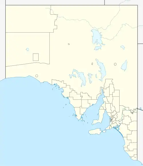
Wallaroo Plain is a locality in the Australian state of South Australia located on the west coast of Yorke Peninsula immediately adjoining Spencer Gulf about 148 kilometres (92 miles) north-west of the state capital of Adelaide.[3]
The area's name was derived from the plain which the locality now occupies.[2] Its boundaries were created in January 1999 along with the selection of the name. As of 2014, land within the locality was zoned for agriculture while a strip of land along the coastline adjoining Spencer Gulf was zoned for conservation.[7]
Wallaroo Plain is located within the federal division of Grey, the state electoral district of Narungga and the local government area of the Copper Coast Council.[5][4][2]
References
- ↑ Australian Bureau of Statistics (28 June 2022). "Wallaroo Plain (suburb and locality)". Australian Census 2021 QuickStats. Retrieved 28 June 2022.
- 1 2 3 4 5 6 "Search result for "Wallaroo Plain (Locality Bounded)" (Record no SA0038041) with the following layers selected - "Suburbs and Localities" and "Place names (gazetteer)"". Government of South Australia, Department of Planning, Transport and Infrastructure. Retrieved 6 May 2016.
- 1 2 3 "Postcode for Wallaroo Plain, South Australia". postcodes-australia.com. Retrieved 6 May 2016.
- 1 2 Narungga (Map). Electoral District Boundaries Commission. 2016. Retrieved 1 March 2018.
- 1 2 "Federal electoral division of Grey" (PDF). Australian Electoral Commission. Retrieved 24 July 2015.
- ↑ "Monthly climate statistics: Summary statistics KADINA AWS (nearest station)". Commonwealth of Australia , Bureau of Meteorology. Retrieved 6 May 2016.
- ↑ "Development Plan - Copper Coast Council Consolidated – 28 August 2014" (PDF). Department of Planning, Transport and Infrastructure. pp. 285, 286, 290 and 291–294. Retrieved 6 April 2016.
This article is issued from Wikipedia. The text is licensed under Creative Commons - Attribution - Sharealike. Additional terms may apply for the media files.