Wannukandi Airport San Blas Airport | |||||||||||
|---|---|---|---|---|---|---|---|---|---|---|---|
| Summary | |||||||||||
| Location | Wannukandi | ||||||||||
| Elevation AMSL | 6 ft / 2 m | ||||||||||
| Coordinates | 9°16′25″N 78°08′20″W / 9.27361°N 78.13889°W | ||||||||||
| Map | |||||||||||
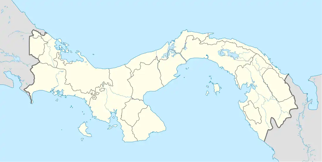
 MPWN Location of the airport in Panama | |||||||||||
| Runways | |||||||||||
| |||||||||||
Wannukandi Airport (IATA: NBL, ICAO: MPWN) is an airport serving Wannukandi, in the Guna Yala comarca (indigenous province) of Panama. The runway is on the Caribbean coast, and north approach and departures are over the water.
See also
References
- ↑ "Wannukandi Airport". Bing Maps. Microsoft. Retrieved 27 August 2018.
- ↑ Airport information for Wannukandi Airport at Great Circle Mapper.
External links
This article is issued from Wikipedia. The text is licensed under Creative Commons - Attribution - Sharealike. Additional terms may apply for the media files.