| Warawara | |
|---|---|
 Warawara Lake (Potosí)  Warawara Lake (Potosí) | |
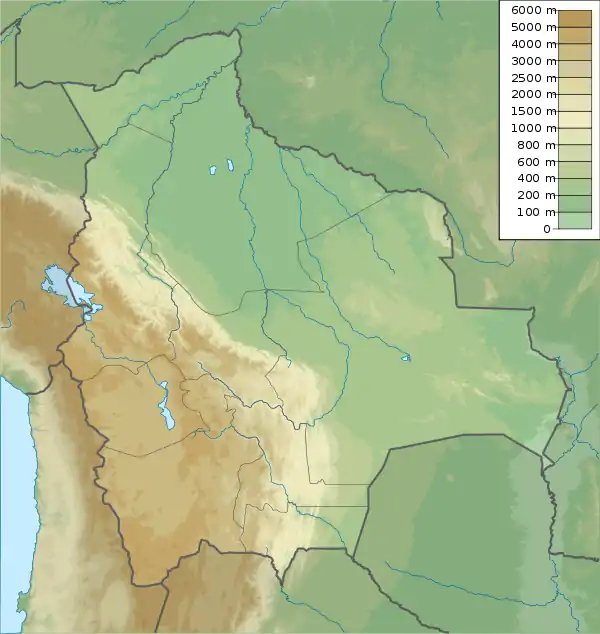
| Location | Bolivia Potosí Department, Antonio Quijarro Province |
| Coordinates | 19°43′15″S 66°1′45″W / 19.72083°S 66.02917°W |
| Max. length | 0.77 km (0.48 mi) |
| Max. width | 0.65 km (0.40 mi) |
| Surface elevation | 4,400 m (14,400 ft) |
Warawara (Aymara warawara star,[1] hispanicized spellings Huara Huara, Huarahuara), often spelled Wara Wara, is a small lake in Bolivia in the Potosí Department, Antonio Quijarro Province, Porco Municipality, Kunturiri Canton.[2] Warawara lies between Wilanta Qullu in the northwest and Porco in the southeast[3] at a height of approximately 4,400 m (14,400 ft). It is 0.77 km long and 0.65 km at its widest point.
References
- ↑ Radio San Gabriel, "Instituto Radiofonico de Promoción Aymara" (IRPA) 1993, Republicado por Instituto de las Lenguas y Literaturas Andinas-Amazónicas (ILLLA-A) 2011, Transcripción del Vocabulario de la Lengua Aymara, P. Ludovico Bertonio 1612 (Spanish-Aymara-Aymara-Spanish dictionary)
- ↑ Porco Municipality: population data and map
- ↑ lib.utexas.edu Map of the area
This article is issued from Wikipedia. The text is licensed under Creative Commons - Attribution - Sharealike. Additional terms may apply for the media files.