Warford, West Virginia | |
|---|---|
Former settlement | |
 Warford, West Virginia | |
| Coordinates: 37°32′15″N 80°54′17″W / 37.53750°N 80.90472°W | |
| Country | United States |
| State | West Virginia |
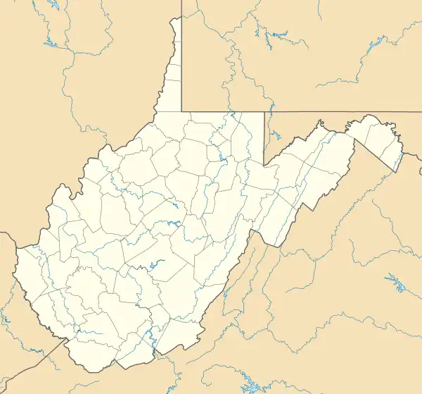
| County | Summers |
| Elevation | 1,424 ft (434 m) |
| GNIS feature ID | 1556989[1] |
Warford is a former settlement in Summers County, West Virginia, United States. Warford was located on the New River, east of Pipestem and appeared on maps as late as 1933.[2]
The community was named for a nearby ford possibly used by Indian warriors to cross the river.[3]
References
- ↑ U.S. Geological Survey Geographic Names Information System: Warford, West Virginia
- ↑ LLC, Historic Map Works. "Summers County - Green Sulphur, Talcott, Jumping Branch, Breenbrier, Forest Hill, Pipestem, Atlas: West Virginia State Atlas 1933, West Virginia Historical Map". www.historicmapworks.com. Retrieved July 7, 2019.
- ↑ Kenny, Hamill (1945). West Virginia Place Names: Their Origin and Meaning, Including the Nomenclature of the Streams and Mountains. Piedmont, WV: The Place Name Press. p. 658.
Municipalities and communities of Summers County, West Virginia, United States | ||
|---|---|---|
| City | 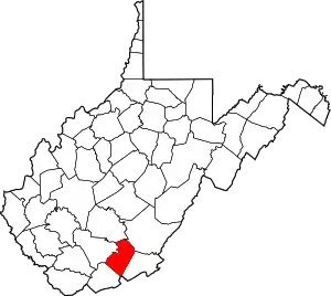 Summers County map | |
| Unincorporated communities |
| |
| Ghost towns | ||
| Footnotes | ‡This populated place also has portions in an adjacent county or counties | |
This article is issued from Wikipedia. The text is licensed under Creative Commons - Attribution - Sharealike. Additional terms may apply for the media files.