| Warrington | |
|---|---|
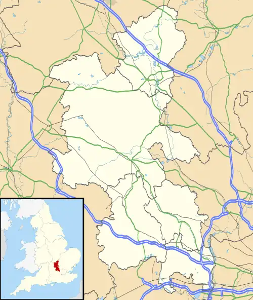
 Warrington Location within Buckinghamshire | |
| Population | 32 (Mid-2010 pop est)[1] |
| OS grid reference | SP896540 |
| Civil parish |
|
| Unitary authority | |
| Ceremonial county | |
| Region | |
| Country | England |
| Sovereign state | United Kingdom |
| Post town | OLNEY |
| Postcode district | MK46 |
| Dialling code | 01234 |
| Police | Thames Valley |
| Fire | Buckinghamshire |
| Ambulance | South Central |
| UK Parliament | |
Warrington is a hamlet and civil parish[2] in the unitary authority area of the City of Milton Keynes, Buckinghamshire, England, near Olney and on either side of the A509. It formed part of the parish of Olney until 1866. At the 2011 Census the population of the hamlet was included in the civil parish of Lavendon.
The hamlet name is an Old English language word that means 'Wærheard's estate'. It was recorded in the Domesday Book in 1086 as Wardintone.
The hamlet is confused occasionally with Warrington, the town in Cheshire. It is situated 10 miles (16 km) north-east of Central Milton Keynes and 60 miles (97 km) north-west of London.
It is the most northerly civil parish in the Milton Keynes UA, of Buckinghamshire and of the South East England Region.
References
- ↑ "Civil Parish population estimates in England and Wales, mid-2010". Office for National Statistics. Archived from the original on 7 March 2013. Retrieved 4 February 2013.
- ↑ Parishes in Milton Keynes Archived 2009-06-08 at the Wayback Machine - Milton Keynes Council.
External links
![]() Media related to Warrington, Buckinghamshire at Wikimedia Commons
Media related to Warrington, Buckinghamshire at Wikimedia Commons