| Watergall | |
|---|---|
 | |
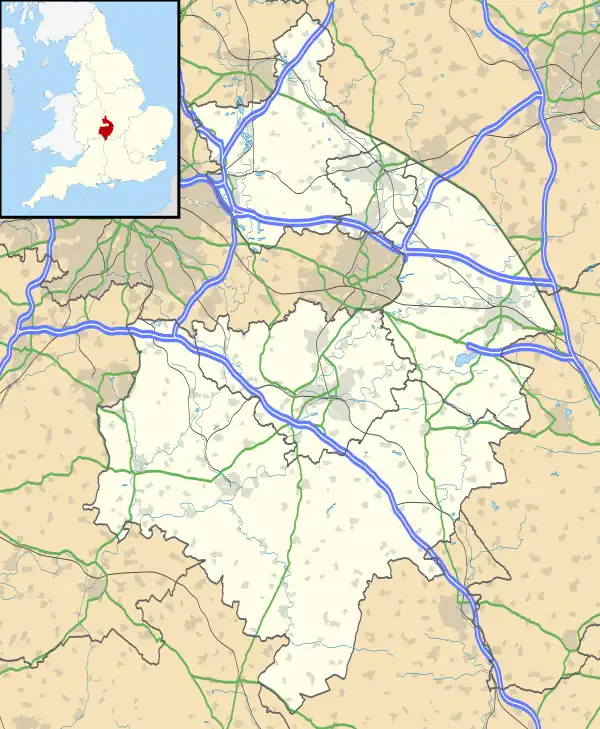
 Watergall Location within Warwickshire | |
| Civil parish |
|
| District | |
| Shire county | |
| Region | |
| Country | England |
| Sovereign state | United Kingdom |
| Post town | Southam |
| Postcode district | CV47 |
| UK Parliament | |
Watergall is a civil parish near Southam, Warwickshire, England.[1][2] It lies in the Stratford-on-Avon District.[3] The nearest city is Coventry, about 15.5 miles (25 km) away.
History
Watergall was an extra-parochial area until 1858, when it became a civil parish.[4] Watergall is probably a medieval shrunken village and contains no current settlements.[5][6]
References
- ↑ "Road Accident Persons Trapped – Banbury Road, Watergall, Warwickshire – One Crew Leamington and One Crew Southam attended". news.warwickshire.gov.uk. Warwickshire County Council. Archived from the original on 4 November 2018. Retrieved 4 November 2018.
- ↑ "Catalogue description". discovery.nationalarchives.gov.uk. The National Archives (United Kingdom). Archived from the original on 4 November 2018. Retrieved 4 November 2018.
- ↑ "GeoNames.org". www.geonames.org. Archived from the original on 4 November 2018. Retrieved 3 November 2018.
- ↑ "Relationships and changes Watergall ExP/PA/CP through time". Vision of Britain. Archived from the original on 4 November 2018. Retrieved 4 November 2018.
- ↑ Historic England. "Watergall (337303)". Research records (formerly PastScape). Retrieved 4 November 2018.
- ↑ "Parishes: Hodnell". british-history.ac.uk. University of London. Archived from the original on 4 November 2018. Retrieved 4 November 2018.
This article is issued from Wikipedia. The text is licensed under Creative Commons - Attribution - Sharealike. Additional terms may apply for the media files.
