Watson, Kansas | |
|---|---|
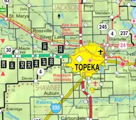
 KDOT map of Shawnee County (legend) | |
 Watson  Watson | |
| Coordinates: 38°59′17″N 95°33′23″W / 38.98806°N 95.55639°W[1] | |
| Country | United States |
| State | Kansas |
| County | Shawnee |
| Township | Monmouth |
| Elevation | 1,083 ft (330 m) |
| Time zone | UTC-6 (CST) |
| • Summer (DST) | UTC-5 (CDT) |
| Area code | 785 |
| FIPS code | 20-76010 |
| GNIS ID | 479095 [1] |
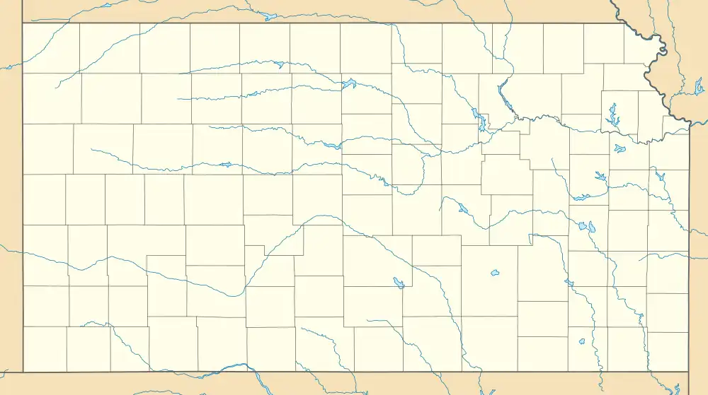
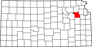
Watson is an unincorporated community in Shawnee County, Kansas, United States.[1]
Demographics
Watson is part of the Topeka, Kansas Metropolitan Statistical Area.
Education
The community is served by Shawnee Heights USD 450 public school district, and two schools are located in Watson: Shawnee Heights High School and Shawnee Highs Middle School.
References
Further reading
External links
This article is issued from Wikipedia. The text is licensed under Creative Commons - Attribution - Sharealike. Additional terms may apply for the media files.
