Weißewarte | |
|---|---|
 Coat of arms | |
Location of Weißewarte | |
 Weißewarte 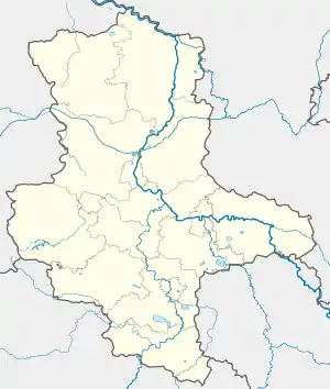 Weißewarte | |
| Coordinates: 52°28′N 11°53′E / 52.467°N 11.883°E | |
| Country | Germany |
| State | Saxony-Anhalt |
| District | Stendal |
| Town | Tangerhütte |
| Area | |
| • Total | 19.86 km2 (7.67 sq mi) |
| Elevation | 36 m (118 ft) |
| Population (2008-12-31) | |
| • Total | 426 |
| • Density | 21/km2 (56/sq mi) |
| Time zone | UTC+01:00 (CET) |
| • Summer (DST) | UTC+02:00 (CEST) |
| Postal codes | 39517 |
| Dialling codes | 03935 |
| Vehicle registration | SDL |
Weißewarte is a village and a former municipality in the district of Stendal, in Saxony-Anhalt, Germany. Since 31 May 2010, it is part of the town Tangerhütte.[1]
References
This article is issued from Wikipedia. The text is licensed under Creative Commons - Attribution - Sharealike. Additional terms may apply for the media files.