West Eleri
വെസ്റ്റ് എളേരി | |
|---|---|
Town, Gram Panchayat | |
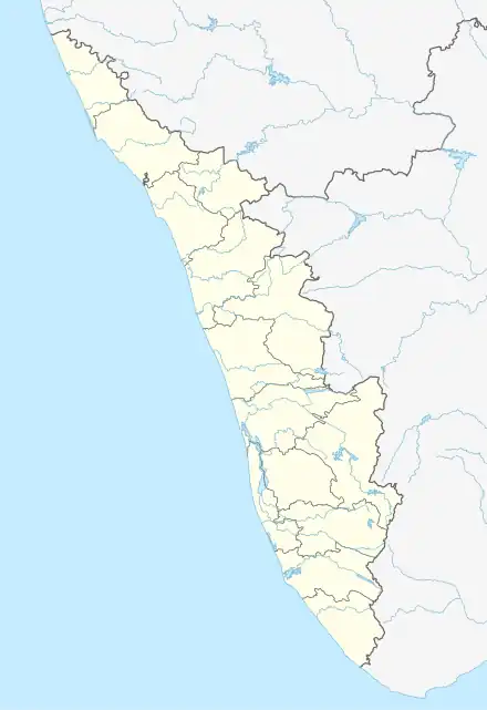 West Eleri Location in Kerala, India  West Eleri West Eleri (India) | |
| Coordinates: 12°20′43″N 75°19′55″E / 12.345279°N 75.332068°E | |
| Country | |
| State | Kerala |
| District | Kasaragod |
| Population (2011) | |
| • Total | 10,656 |
| Languages | |
| Time zone | UTC+5:30 (IST) |
| ISO 3166 code | IN-KL |
| Vehicle registration | KL-60, KL-79 |
| Nearest city | Kanhangad |
| Nearest railway station | Kanhangad |
West Eleri is a town and a Gram panchayat in the Kasaragod district in the state of Kerala, India. It is located in the Vellarikundu Taluk of Kasaragod.[1]
Wards
The West Eleri Panchayat includes 18 wards:
| Ward No. | Name | Map[2] |
|---|---|---|
| 1 | Parappachal | 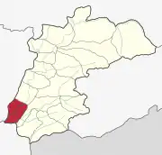 |
| 2 | Bheemanady | 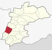 |
| 3 | Chennadukkam | 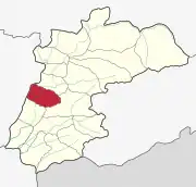 |
| 4 | Eleri | 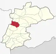 |
| 5 | Punnakunnu | 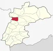 |
| 6 | Plachikkara | 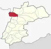 |
| 7 | Nattakkal | 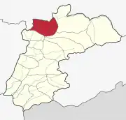 |
| 8 | Karuvankayam | 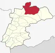 |
| 9 | Paramba | 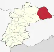 |
| 10 | Chattamala | 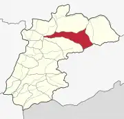 |
| 11 | Kottamala | 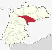 |
| 12 | Narkilakkad | 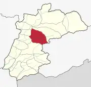 |
| 13 | Eachippoyil | 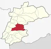 |
| 14 | Mandapam | 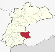 |
| 15 | Kammadam | 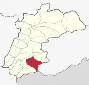 |
| 16 | Moukode | 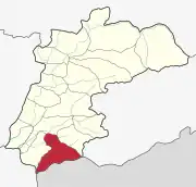 |
| 17 | Perumbatta | 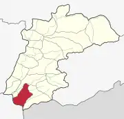 |
| 18 | Kunnumkai | 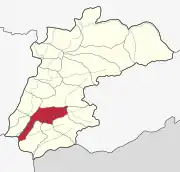 |
Demographics
As of the 2011 Indian census, West Eleri had a population of 10656, including 5315 males and 5341 females.[3][4]
References
- ↑ "West Eleri Pin Code". Postal Code (Zip Code) of West Eleri, Kasargod, Kerala, India. 16 August 2023. Retrieved 16 August 2023.
- ↑ https://lsgkerala.gov.in/en/lbelection/electdmemberdet/2020/1211
- ↑ "West Eleri Village Population - Hosdurg - Kasaragod, Kerala". www.census2011.co.in. Retrieved 14 August 2023.
- ↑ "West Eleri, KeralaWeather Forecast and Conditions". The Weather Channel. 1 January 1970. Retrieved 16 August 2023.
| Municipalites | |
|---|---|
| Taluks | |
This article is issued from Wikipedia. The text is licensed under Creative Commons - Attribution - Sharealike. Additional terms may apply for the media files.