| West Lolo Complex | |
|---|---|
| Location | Plains, Montana |
| Coordinates | 47°24′36″N 114°59′17″W / 47.41°N 114.988°W |
| Statistics | |
| Date(s) | July 8, 2021 – present |
| Burned area | 39,053 acres (15,804 ha) |
| Cause | Lightning |
| Map | |
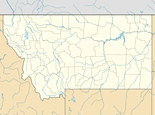 Location in Western Montana | |
The West Lolo Complex is a large wildfire complex currently burning near Plains, Montana. The fires started on July 8 by lightning. Started by lightning strikes, the fires have collectively burned 39,053 acres (15,804 ha) and is 15% percent contained as of August 5, 2021.[1]
Events
July
The West Lolo Complex was first reported on July 8, 2021 at around 11:10 am MST.[1]
August
Containment
As of August 20, 2021 the fire is 15% contained.[1]
Current closures
Closures
Impact
Evacuations
References
- 1 2 3 "West Lolo Complex Information - InciWeb the Incident Information System". inciweb.nwcg.gov. Retrieved 2021-08-05.
External links
Montana wildfires | |
|---|---|
| Pre-2000 | |
| 2017 | |
| 2018 | |
| 2021 |
|
| 2022 |
|
| |
This article is issued from Wikipedia. The text is licensed under Creative Commons - Attribution - Sharealike. Additional terms may apply for the media files.