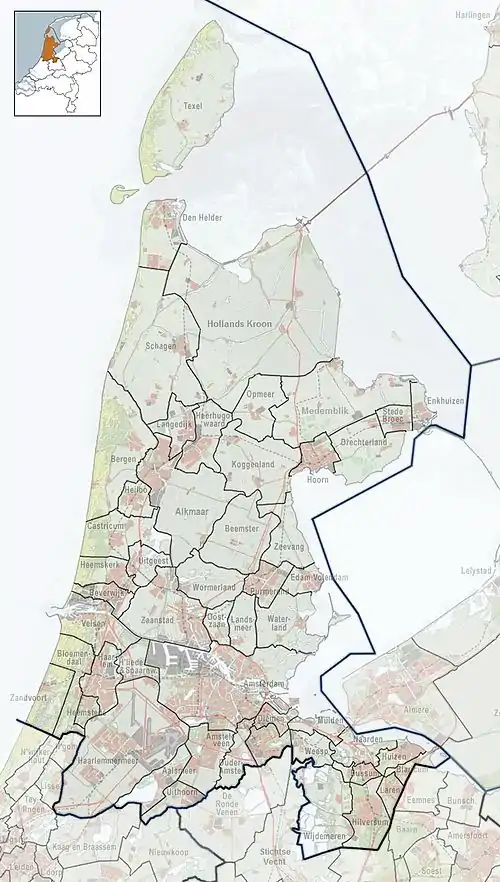
Westknollendam | |
|---|---|
Village | |
![Beatrixbridge at the Tapsloot [nl] near Westknollendam](../I/Zaan_Beatrixbrug.JPG.webp) Beatrixbridge at the Tapsloot near Westknollendam | |
 Westknollendam Location in the Netherlands  Westknollendam Location in the province of North Holland in the Netherlands | |
| Coordinates: 52°31′N 4°47′E / 52.517°N 4.783°E | |
| Country | Netherlands |
| Province | North Holland |
| Municipality | Zaanstad |
| Area | |
| • Total | 0.35 km2 (0.14 sq mi) |
| Elevation | −0.4 m (−1.3 ft) |
| Population (2021)[1] | |
| • Total | 455 |
| • Density | 1,300/km2 (3,400/sq mi) |
| Time zone | UTC+1 (CET) |
| • Summer (DST) | UTC+2 (CEST) |
| Postal code | 1525[1] |
| Dialing code | 075 |
Westknollendam is a village in the northwest Netherlands. It is located in the municipality of Zaanstad, North Holland, about 15 km northwest of Amsterdam. The village is located along the Zaan river. On the opposite shore is Oostknollendam, in the municipality of Wormerland.
References
- 1 2 3 "Kerncijfers wijken en buurten 2021". Central Bureau of Statistics. Retrieved 2 May 2022.
- ↑ "Postcodetool for 1525AA". Actueel Hoogtebestand Nederland (in Dutch). Het Waterschapshuis. Retrieved 2 May 2022.
External links
![]() Media related to West-Knollendam at Wikimedia Commons
Media related to West-Knollendam at Wikimedia Commons
This article is issued from Wikipedia. The text is licensed under Creative Commons - Attribution - Sharealike. Additional terms may apply for the media files.