| Whipton Hospital | |
|---|---|
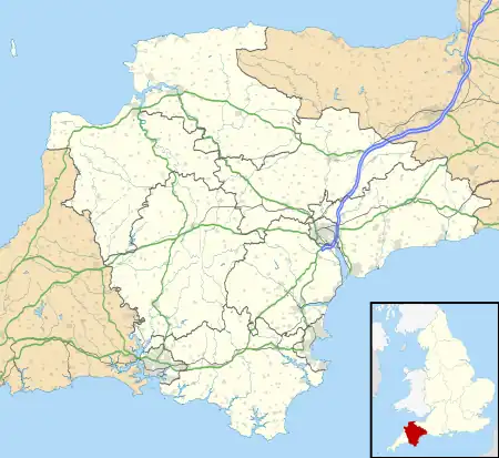
 Shown in Devon | |
| Geography | |
| Location | Exeter, Devon, England, United Kingdom |
| Coordinates | 50°43′53″N 3°28′58″W / 50.7313°N 3.4827°W |
| Organisation | |
| Care system | Public NHS |
| Type | specialist |
| Services | |
| Speciality | Isolation hospital |
| History | |
| Opened | 1913 |
| Links | |
| Lists | Hospitals in England |
Whipton Hospital is a small community hospital, also known as the Exeter Community Hospital (Whipton). It was founded as the Whipton Isolation Hospital in 1913 as a pulmonary tuberculosis sanatorium as part of a network of such facilities,[1] instigated by the Public Health (Tuberculosis Regulations) 1912.[2]
The hospital now offers satellite services for a number of local healthcare organisations including the Royal Devon University Healthcare NHS Foundation Trust and the Devon Partnership NHS Trust.[3]
History
The foundation stone of the hospital was laid on 3 July 1913 by the Senior Medical Officer of Exeter, Mr EA Brash.[4]
It was located only a few hundred metres West of the Heavitree isolation hospital (now the Ellen Tinkham School), and approximately the same distance East of the Honeylands Children's Sanatorium.[5]

The hospital joined the NHS in 1948, and along with the larger Hawkmoor Hospital near Bovey Tracey, as well as the nearby children's Honeylands and the City Tuberculosis Dispensary in the city centre, Whipton formed part of the Exeter Special Hospital Management Committee.[6]
References
- ↑ "Hospital Records - Hawkwoor". The National Archives. Retrieved 30 September 2018.
- ↑ Lloyd, J Henry (1914). Medical and sanatorium benefit regulations.
- ↑ "Exeter Community Hospital (Whipton)". Royal Devon University Healthcare NHS Foundation Trust.
- ↑ "The New Isolation Hospital for Exeter". Western Times. 1913-07-04.
- ↑ Devonshire Sheet LXXX NE (Map). Ordnance Survey. 1932.
- ↑ Annual Report 1948/49. Exeter Special Hospital Management Committee. 1949.