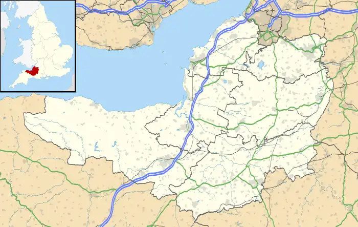
| Wimble Toot | |
|---|---|
| Babcary, Somerset | |
 | |
 Wimble Toot | |
| Coordinates | 51°02′59″N 2°37′45″W / 51.0497°N 2.6291°W |
| Grid reference | grid reference ST560280 |
| Type | tumulus or motte |
Wimble Toot is a burial mound or, possibly, a motte built near the village of Babcary, Somerset, England. It is a scheduled ancient monument with a list entry number of 1015279.[1]
Etymology
Toot is derived from Old English tōt, meaning a lookout point.[2]
Details
Wimble Toot is generally interpreted as a typical bowl barrow dating to the Bronze Age,[1] between 2600 and 700 BC.[3] Today the site forms a circular earthwork, 27.47 metres (90.1 ft) across and 2.74 metres (9.0 ft) high, with a ditch on the north-west and south-east sides, on the top of a ridge, overlooking a brook which runs into the River Cary and the old Roman road of the Fosse Way.[4] The site is of an undetermined age, and appears to have been a part of the Romano-British landscape. In Roman times, Wimble Toot was situated at a crossroads.[2]
An alternative interpretation is that the monument is a possible motte built between 1067 and 1069.[5] According to this view, Wimble Toot was probably built by the Norman lord Robert of Mortain to protect the River Cary and the nearby settlement of Ilchester.[6]
Today the site is a scheduled monument.[7]
References
References
- Barker, Katherine (1986) "Pen, Ilchester and Yeovil: A Study in the Landscape History and Archaeology of South-East Somerset". Proceedings of the Somerset Archaeology and Natural History Society. Volume 130, pp. 11-45. Taunton, Somerset: Somerset Archaeology and Natural History Society.
- Historic England (2015) Pastscape: Wimble Toot. Swindon, Wiltshire, UK: Historic England. Accessed 2017-11-15.
- Historic England (2017) Bowl barrow known as 'Wimble Toot'. Swindon, Wiltshire, UK: Historic England. Accessed 2017-11-15.
- Prior, Stuart. (2006) The Norman Art of War: a Few Well-Positioned Castles. Stroud, UK: Tempus. ISBN 0-7524-3651-1.
Further reading
- Grinsell, L. V. (1971) "Somerset barrows, part 2: North and East." Somerset Archaeology and Natural History (115), Supplement (88).