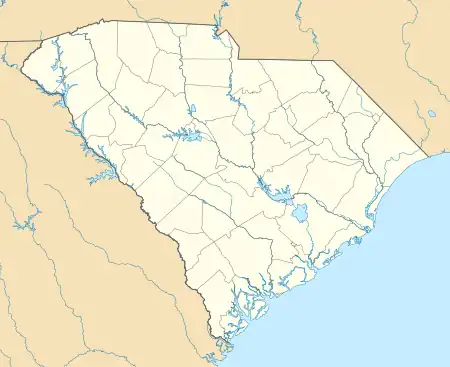
Winnsboro Historic District | |
.jpg.webp) Fire Station & Municipal Offices, Winnsboro | |
  | |
| Location | Roughly bounded by Gooding, Buchanan, Garden, and Fairfield Sts., Winnsboro, South Carolina |
|---|---|
| Coordinates | 34°22′50″N 81°05′11″W / 34.38056°N 81.08639°W |
| Area | 273 acres (110 ha) |
| Built | 1785 |
| Architect | Mills, Robert; Et al. |
| Architectural style | Mixed (more Than 2 Styles From Different Periods), Greek Revival |
| NRHP reference No. | 71000780[1] |
| Added to NRHP | October 14, 1971 |
Winnsboro Historic District is a national historic district located at Winnsboro, Fairfield County, South Carolina. The district encompasses 33 contributing buildings and 1 contributing site in the county seat of Winnsboro. The district features a wide range of architectural styles, from early simple frame houses that reflect utilitarian aspects of the Scotch-Irish, the first principal settlers, to pronounced styles such as Federal and Greek Revival. Many residences are typical upcountry frame houses, built in an L-shape with long piazzas running across the front. Notable buildings include the Town Clock, Fairfield County Courthouse, Thespian Hall, Fairfield Country Club, Mt. Zion Elementary, the separately listed Ketchin Building, Beatty House, Wolfe House, Kirkpatrick House, Neil House, and Williford House / Town Hall. The Fairfield Country Club was built in 1822 under the supervision of Robert Mills.[2][3]
It was listed on the National Register of Historic Places in 1971.[1]
References
- 1 2 "National Register Information System". National Register of Historic Places. National Park Service. July 9, 2010.
- ↑ Ben F. Hornsby (November 1970). "Winnsboro Historic District" (pdf). National Register of Historic Places - Nomination and Inventory. Retrieved October 20, 2012.
- ↑ "Winnsboro Historic District, Fairfield County". National Register Properties in South Carolina. South Carolina Department of Archives and History. Retrieved October 20, 2012. and accompanying map
External links
- Historic American Buildings Survey (HABS) No. SC-213, "Fairfield County Courthouse, Congress & Washington Streets, Winnsboro, Fairfield County, SC", 1 photo, 2 data pages
- Historic American Buildings Survey (HABS) No. SC-182, "Fire Station & Municipal Offices, Congress & Washington Streets, Winnsboro, Fairfield County, SC", 1 photo

