| Wye Mountain | |
|---|---|
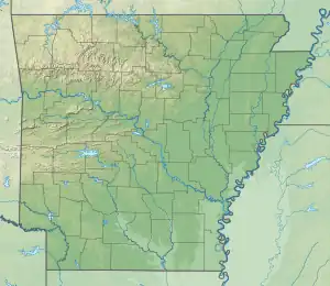
 Wye Mountain Location of Wye Mountain in Arkansas  Wye Mountain Wye Mountain (the United States) | |
| Highest point | |
| Elevation | 787 ft (240 m)[1] |
| Coordinates | 34°55′55″N 92°40′38″W / 34.93194°N 92.67722°W[1] |
| Geography | |
| Location | Wye Township & Big Rock Township, Arkansas, United States |
| Parent range | Ouachita Mountains |
| Geology | |
| Mountain type | Ridge |
| Climbing | |
| Access | Arkansas Highway 113 Arkansas Highway 300 Tram Road |
Wye Mountain is a ridge in Perry and Pulaski counties in the U.S. state of Arkansas. It is located in the northeastern foothills of the Ouachita Mountains near Bigelow between the Fourche LaFave and Big Maumelle river valleys.[1]
References
- 1 2 3 "Wye Mountain". Geographic Names Information System. United States Geological Survey, United States Department of the Interior. Retrieved March 13, 2018.
This article is issued from Wikipedia. The text is licensed under Creative Commons - Attribution - Sharealike. Additional terms may apply for the media files.