Wytopitlock, Maine | |
|---|---|
Village | |
 Wytopitlock | |
| Coordinates: 45°38′26″N 68°04′32″W / 45.64056°N 68.07556°W | |
| Country | United States |
| State | Maine |
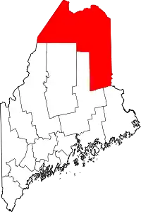
| County | Aroostook |
| Township | Reed Plantation |
| Elevation | 341 ft (104 m) |
| Time zone | UTC-5 (Eastern (EST)) |
| • Summer (DST) | UTC-4 (EDT) |
| ZIP code | 04497[1] |
| Area code | 207 |
| GNIS feature ID | 578733[2] |
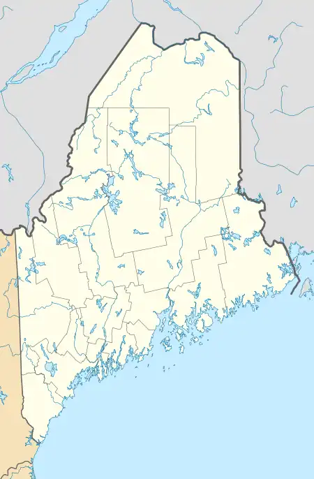
Wytopitlock is an unincorporated village in Reed Plantation, Aroostook County, Maine, United States. Wytopitlock is located on the Mattawamkeag River and is served by Maine State Route 171.
References
- ↑ "Wytopitlock ZIP Code". zipdatamaps.com. 2022. Retrieved November 11, 2022.
- ↑ "US Board on Geographic Names". United States Geological Survey. October 25, 2007. Retrieved January 31, 2008.
This article is issued from Wikipedia. The text is licensed under Creative Commons - Attribution - Sharealike. Additional terms may apply for the media files.