| Yanamax | |
|---|---|
 Yanamax Xinjiang, China  Yanamax Yanamax (Southern Xinjiang) | |
| Highest point | |
| Elevation | 6,357 m (20,856 ft) |
| Prominence | 1,702 m (5,584 ft) |
| Isolation | 7.5 km (4.7 mi) |
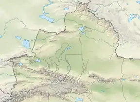
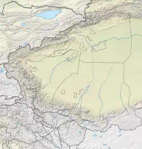
| Coordinates | 42°17′06″N 81°02′36.5″E / 42.28500°N 81.043472°E |
| Geography | |
| Location | Xinjiang, China |
| Parent range | Tian Shan |
| Climbing | |
| First ascent | August 2008 by Guy McKinnon and Bruce Normand |
Yanamax is a mountain in the Tian Shan system of mountain ranges in the Xinjiang region of China. Its peak altitude is listed in the American Alpine Club[1] and other sources including Peak Bagger[2] and Google Earth.[3] Yanamax, being slightly taller than Denali, gives Denali a topographic isolation of 7,450 km (4,630 mi).
The first ascent of Yanamax was completed in August 2008 by Guy McKinnon and Bruce Normand.
Statistics
- Topographic prominence: Clean: 1702 m/5584 ft, Optimistic: 1702 m/5584 ft
- Topographic isolation: 7.49 km/4.65 mi
Historical maps
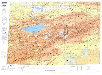
Historical English-language maps of the region:
References
- ↑ http://publications.americanalpineclub.org/articles/12200904700/Untapped-Potential-Exploring-the-Chinese-Central-Tien-Shan some sources at 6332m
- ↑ at 6357m
- ↑ https://earth.google.com/web/@42.28310734,81.04364438,6190.72332473a,950.07612751d,35y,75.9053821h,45.00122497t,0r/data=CjsaORIxCgAZFK5H4XokRUAhcEwFy8dCVEAqGzQywrAxNycwNi4wIk4gODHCsDAyJzM2LjQiRRgCIAEoAg estimates the altitude as 6229m
External links
- Account of first ascent: "Untapped Potential, Exploring the Chinese Central Tien Shan"
- Mountain Statistics on Peakbagger.com
- On Google Earth
This article is issued from Wikipedia. The text is licensed under Creative Commons - Attribution - Sharealike. Additional terms may apply for the media files.
_-_panoramio.jpg.webp)

