| Yellow Mountain | |
|---|---|
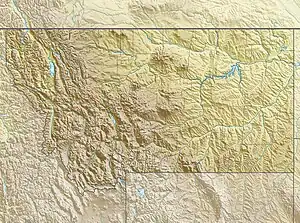 Yellow Mountain Location in Montana  Yellow Mountain Location in the United States | |
| Highest point | |
| Elevation | 8,971 ft (2,734 m)[1] |
| Prominence | 1,006 ft (307 m)[1] |
| Coordinates | 48°52′54″N 113°38′15″W / 48.88167°N 113.63750°W[2] |
| Geography | |
| Location | Glacier County, Montana, U.S. |
| Parent range | Lewis Range |
| Topo map | USGS Chief Mountain, MT |
Yellow Mountain (8,971 feet (2,734 m)) is located in the Lewis Range, Glacier National Park in the U.S. state of Montana.[3] Yellow Mountain forms a high ridge and connects Sherburne Peak in the east to Seward Mountain to the west.
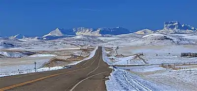
Yellow Mountain is centered. Chief Mountain to the right.
Camera is pointed south.
Camera is pointed south.
See also
References
- 1 2 "Yellow Mountain, Montana". Peakbagger.com. Retrieved December 27, 2018.
- ↑ "Yellow Mountain". Geographic Names Information System. United States Geological Survey, United States Department of the Interior. Retrieved December 27, 2018.
- ↑ Chief Mountain, MT (Map). TopoQwest (United States Geological Survey Maps). Retrieved December 27, 2018.
This article is issued from Wikipedia. The text is licensed under Creative Commons - Attribution - Sharealike. Additional terms may apply for the media files.