| Yellowhead Mountain | |
|---|---|
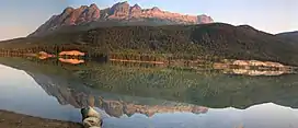 Yellowhead Mountain from Yellowhead Lake | |
| Highest point | |
| Elevation | 2,458 m (8,064 ft)[1] |
| Prominence | 343 m (1,125 ft) |
| Coordinates | 52°52′54″N 118°37′24″W / 52.88167°N 118.62333°W |
| Geography | |
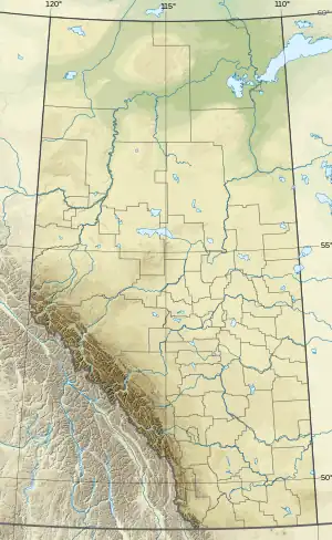 Yellowhead Mountain Location on Alberta/B.C. boundary 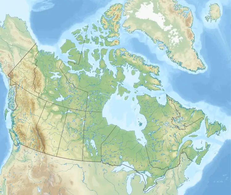 Yellowhead Mountain Yellowhead Mountain (Canada) | |
| Country | Canada |
| Provinces | Alberta and British Columbia |
| Parent range | Victoria Cross Ranges |
| Topo map | NTS 83D15 Lucerne |
Yellowhead Mountain is located on the border of Alberta and British Columbia. It was named for Pierre Bostonais aka Tête Jaune.[1][2] The mountain has four officially named summits: Bingley Peak, Leather Peak, Lucerne Peak, and Tête Roche.
Climate
Based on the Köppen climate classification, Yellowhead Mountain is located in a subarctic climate zone with cold, snowy winters, and mild summers.[3] Temperatures can drop below −20 °C with wind chill factors below −30 °C. In terms of favorable weather, July through September are the best months to climb.
See also
References
- 1 2 "Yellowhead Mountain". cdnrockiesdatabases.ca. Retrieved 2019-06-09.
- ↑ "Yellowhead Mountain". Bivouac.com. Retrieved 2019-06-09.
- ↑ Peel, M. C.; Finlayson, B. L.; McMahon, T. A. (2007). "Updated world map of the Köppen−Geiger climate classification". Hydrol. Earth Syst. Sci. 11: 1633–1644. ISSN 1027-5606.
External links
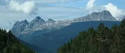
Yellowhead Mountain with Leather Peak, Lucerne Peak, and Tete Roche (right) seen from westbound Highway 16
This article is issued from Wikipedia. The text is licensed under Creative Commons - Attribution - Sharealike. Additional terms may apply for the media files.