Zalalövő | |
|---|---|
Town | |
 | |
 Flag  Coat of arms | |
 Zalalövő Location of Zalalövő | |
| Coordinates: 46°50′49″N 16°35′27″E / 46.84698°N 16.59070°E | |
| Country | Hungary |
| Region | Western Transdanubia |
| County | Zala |
| District | Zalaegerszeg |
| Area | |
| • Total | 52.64 km2 (20.32 sq mi) |
| Population (1 January 2023)[1] | |
| • Total | 2,736 |
| • Density | 52/km2 (130/sq mi) |
| Time zone | UTC+1 (CET) |
| • Summer (DST) | UTC+2 (CEST) |
| Postal code | 8999 |
| Area code | (+36) 92 |
| Website | www |
Zalalövő (Latin: Sala) is a town in Zala County, Hungary.
Twin towns — sister cities
Zalalövő is twinned with:
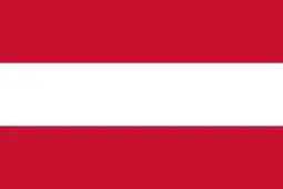 Oberaich, Austria
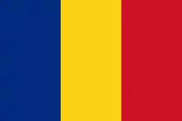 Chibed, Romania
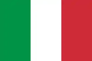 Savignano sul Panaro, Italy

Aerial photography of Zalalövő
References
- ↑ Error: Unable to display the reference properly. See the documentation for details.
External links
Wikimedia Commons has media related to Zalalövő.
Wikivoyage has a travel guide for Zalalövő.
- Street map (in Hungarian)

.svg.png.webp)
This article is issued from Wikipedia. The text is licensed under Creative Commons - Attribution - Sharealike. Additional terms may apply for the media files.