Zapicán | |
|---|---|
Village | |
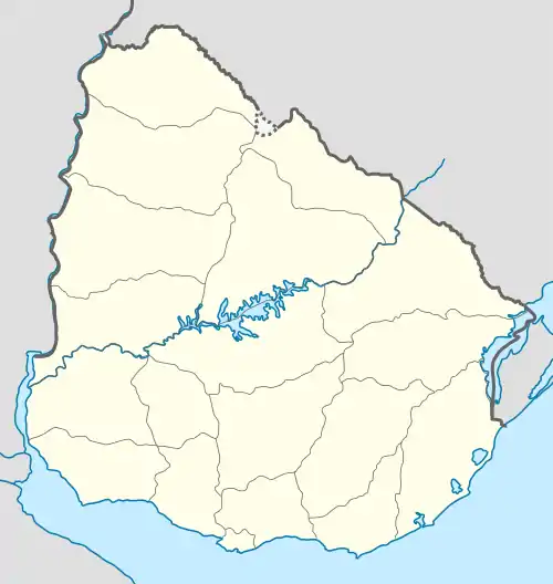 Zapicán Location in Uruguay | |
| Coordinates: 33°31′39″S 54°56′21″W / 33.52750°S 54.93917°W | |
| Country | |
| Department | Lavalleja Department |
| Founded | 1891 |
| Elevation | 231 m (758 ft) |
| Population (2011) | |
| • Total | 553 |
| Time zone | UTC -3 |
| Postal code | 30301 |
| Dial plan | +598 4463 (+4 digits) |
Zapicán is a village in the northwest of Lavalleja Department in Uruguay.
Geography
The village is located on the junction of Route 14 with Route 40, about 24 kilometres (15 mi) east of José Batlle y Ordoñez, with an elevation of 231 m (758 ft).[1] The railroad track Montevideo - Nico Pérez - Río Branco passes along the south limits of the village.
History
It was founded by Pablo Fernández in September 1891 and on 9 June 1913, it was declared a "Pueblo" (village) by the Act of Ley Nº 4.337.[2]
Population
In 2011 Zapicán had a population of 553.[3]
| Year | Population |
|---|---|
| 1908 | 2.751 |
| 1963 | 839 |
| 1975 | 759 |
| 1985 | 670 |
| 1996 | 602 |
| 2004 | 640 |
| 2011 | 553 |
Source: Instituto Nacional de Estadística de Uruguay[2]
References
- ↑ "American Museum - Novitates" (pdf). American Museum. 1994. Retrieved 6 September 2011.
- 1 2 "Statistics of urban localities (1908–2004)" (PDF). INE. 2012. Archived from the original (PDF) on 13 November 2009. Retrieved 4 September 2012.
- ↑ "Censos 2011 Lavalleja (needs flash plugin)". INE. 2012. Retrieved 31 August 2012.
External links
Capital: Minas | ||
| Towns and villages | 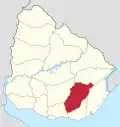 | |
| Sights | ||
This article is issued from Wikipedia. The text is licensed under Creative Commons - Attribution - Sharealike. Additional terms may apply for the media files.