| Zmutt Glacier | |
|---|---|
| Zmuttgletscher | |
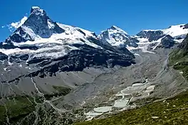 Zmutt valley with glacier on the right, the left peak is the Matterhorn | |
 Zmutt Glacier 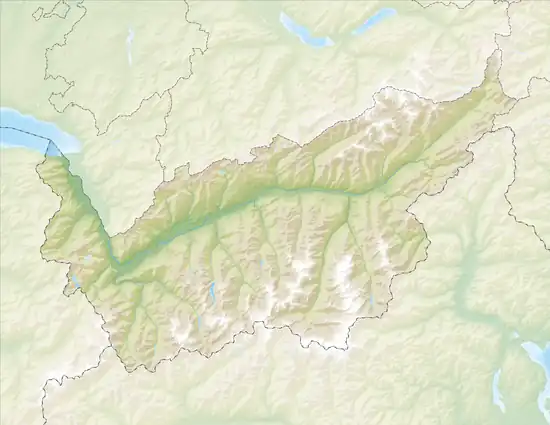 Zmutt Glacier  Zmutt Glacier | |
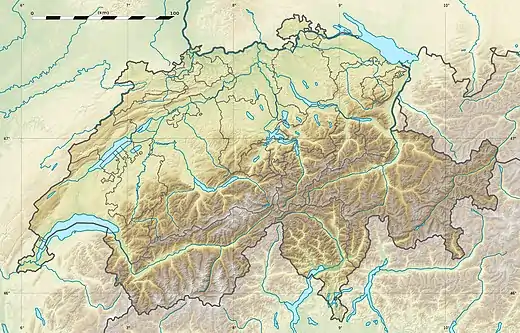
| Location | Valais, Switzerland |
| Coordinates | 45°59′7″N 7°36′57″E / 45.98528°N 7.61583°E |
| Length | 6 km |
The Zmutt Glacier (German: Zmuttgletscher) is a 6 km (3.7 mi) long glacier (2005) situated in the Pennine Alps in the canton of Valais in Switzerland. In 1973 it had an area of 16.89 km2 (6.52 sq mi).
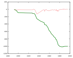
Evolution of the Zmutt Glacier. In thick green: cumulated length difference. In thin red: yearly growth in meters
See also
Wikimedia Commons has media related to ZmuttGlacier.
External links
This article is issued from Wikipedia. The text is licensed under Creative Commons - Attribution - Sharealike. Additional terms may apply for the media files.