Zoniana
Ζωνιανά | |
|---|---|
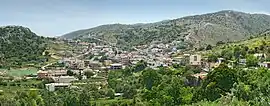 Panoramic view of Zoniana | |
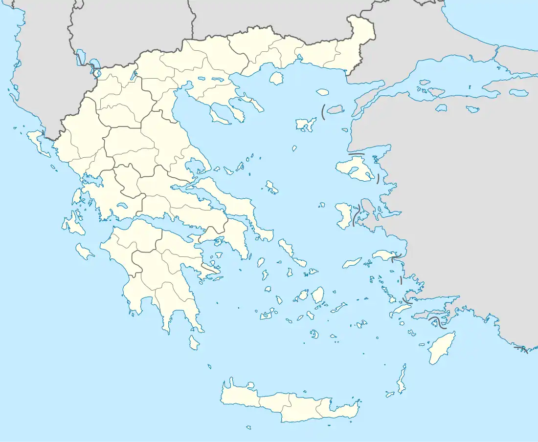 Zoniana Location within the regional unit  | |
| Coordinates: 35°18′N 24°50′E / 35.300°N 24.833°E | |
| Country | Greece |
| Administrative region | Crete |
| Regional unit | Rethymno |
| Municipality | Mylopotamos |
| • Municipal unit | 17.9 km2 (6.9 sq mi) |
| Elevation | 630 m (2,070 ft) |
| Population (2011)[1] | |
| • Municipal unit | 1,117 |
| • Municipal unit density | 62/km2 (160/sq mi) |
| Time zone | UTC+2 (EET) |
| • Summer (DST) | UTC+3 (EEST) |
| Vehicle registration | ΡΕ |
Zoniana (Greek: Ζωνιανά) is a town and a former municipality in the Rethymno regional unit, Crete, Greece. Since the 2011 local government reform it is part of the municipality Mylopotamos, of which it is a municipal unit.[2] The municipal unit has an area of 17.926 km2 (6.921 sq mi).[3] Population 1,117 (2011).
References
- ↑ "Απογραφή Πληθυσμού - Κατοικιών 2011. ΜΟΝΙΜΟΣ Πληθυσμός" (in Greek). Hellenic Statistical Authority.
- ↑ "ΦΕΚ B 1292/2010, Kallikratis reform municipalities" (in Greek). Government Gazette.
- ↑ "Population & housing census 2001 (incl. area and average elevation)" (PDF) (in Greek). National Statistical Service of Greece., formerly municipal department of Anogeia
Wikimedia Commons has media related to Zoniana.
This article is issued from Wikipedia. The text is licensed under Creative Commons - Attribution - Sharealike. Additional terms may apply for the media files.