Zurzach | |
|---|---|
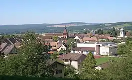 Bad Zurzach | |
 Flag  Coat of arms | |
Location of Zurzach | |
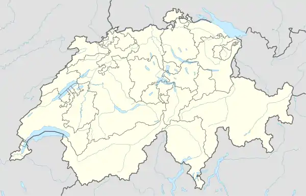 Zurzach 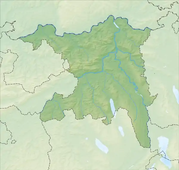 Zurzach | |
| Coordinates: 47°36′N 8°18′E / 47.600°N 8.300°E | |
| Country | Switzerland |
| Canton | Aargau |
| District | Zurzach |
| Government | |
| • Mayor | Gemeindeammann Andi Meier |
| Area | |
| • Total | 25.99 km2 (10.03 sq mi) |
| Elevation | 340 m (1,120 ft) |
| Population (2020-12-31) | |
| • Total | 8,476 |
| • Density | 330/km2 (840/sq mi) |
| Time zone | UTC+01:00 (Central European Time) |
| • Summer (DST) | UTC+02:00 (Central European Summer Time) |
| Postal code(s) | 5330 |
| SFOS number | 4324 |
| Surrounded by | Döttingen, Endingen, Fisibach, Hohentengen am Hochrhein (DE-BW), Klingnau, Koblenz, Küssaberg (DE-BW), Lengnau, Mellikon, Schneisingen, Siglistorf, Tegerfelden, Weiach (ZH) |
| Website | www SFSO statistics |
Zurzach is a municipality in the district of Zurzach in the canton of Aargau in Switzerland. On 1 January 2022 the former municipalities of Bad Zurzach, Baldingen, Böbikon, Kaiserstuhl, Rekingen, Rietheim, Rümikon and Wislikofen merged into the new municipality of Zurzach.[1] It is the seat of the district. Bad Zurzach was previously known as Zurzach.
History
Bad Zurzach
Baldingen
Böbikon
Kaiserstuhl
Rekingen
Rietheim
Rümikon
Wislikofen
Geography
Demographics
References
- ↑ "Applikation der Schweizer Gemeinden". bfs.admin.ch. Swiss Federal Statistical Office. 2021. Retrieved 8 January 2022.
External links
Wikimedia Commons has media related to Zurzach.
Municipalities in Zurzach District, Switzerland | ||
|---|---|---|
This article is issued from Wikipedia. The text is licensed under Creative Commons - Attribution - Sharealike. Additional terms may apply for the media files.