坤布崎峰
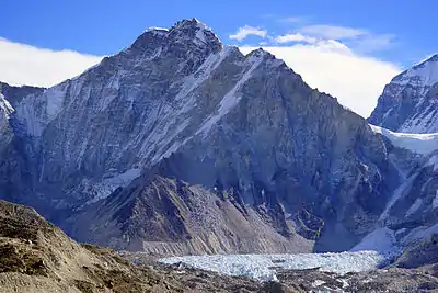
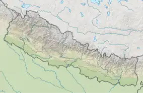
坤布崎峰(藏語:ཁུམ་བུ་རྩེ།,威利转写:khum bu rtse,藏语拼音:Kumpuzê,意為「坤布之頂」;尼泊爾語:,轉寫:),又稱孔布则峰,是一座位於尼泊爾薩加瑪塔國家公園與中國西藏邊界的山峰,高6665米[1]。
| 坤布崎峰 | |
|---|---|
| 孔布则峰 | |
 | |
| 最高点 | |
| 海拔 | 6,665(21,867英尺) [1] |
| 28°01′13″N 86°52′23″E | |
| 地理 | |
| 山脈 | 喜馬拉雅山脈 |
| 攀山 | |
| 首次登頂 | 1979 by Franček Knez |
| 最简路线 | 從中絨布冰川沿冰川/雪/冰攀登 |
資料來源
| 维基共享资源上的相关多媒体资源:坤布崎峰 |
- Nepa Maps (Pvt.Ldt. ), NE517: Everest Base Camp & Gokyo, Kathmandu, Nepal, 2013
This article is issued from Wikipedia. The text is licensed under Creative Commons - Attribution - Sharealike. Additional terms may apply for the media files.

