安鎮 (若開邦)
安鎮(緬甸語:;英語:)為緬甸若開邦皎漂縣的鎮區[2]。2014年人口119,714人,區域面積6,260.8平方公里[1]。安為該鎮之首府。
| 安鎮 | |
|---|---|
| 皎漂縣鎮區 | |
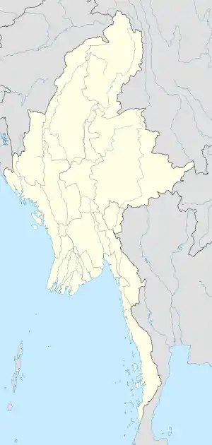 安鎮 安鎮在緬甸的位置 | |
| 坐标:19°51′N 94°00′E | |
| 國家 | |
| 省 | 若開邦 |
| 縣 | 皎漂縣 |
| 首府 | 安 |
| 面积 | |
| • 总计 | 6,260.8 平方公里(2,417.3 平方英里) |
| 人口(2014)[1] | 119,714人 |
| • 密度 | 19.12人/平方公里(49.5人/平方英里) |
| 时区 | MST(UTC+6:30) |
安溪水壩(Ann Creek Hydropower Project)坐落在安溪(Ann Creek),該水壩位在安鎮首府安東北方約3.5英里(5.63公里)處。該水壩每年可生產約4400萬度電力[3]。
參見
- MYANMAR: Administrative Division. Citypopulation. 2015-12-09
- "Myanmar States/Divisions & Townships Overview Map" (页面存档备份,存于) Myanmar Information Management Unit (MIMU)
- http://www.mrtv3.net.mm/newpaper/109newsn.pdf%5B%5D Page 10 Column 3
外部連結
- "Ann Township - Rakhine State" map ID: MIMU154v01, creation date: 16 August 2010, Myanmar Information Management Unit (MIMU)
- "An Google Satellite Map"(页面存档备份,存于) Maplandia World Gazetteer
This article is issued from Wikipedia. The text is licensed under Creative Commons - Attribution - Sharealike. Additional terms may apply for the media files.