投影坐标系
投影坐标系(projected coordinate system),也称为投影坐标参考系统(projected coordinate reference system)、平面坐标系(planar coordinate system)或网格参考系统(grid reference system),是一种空间参考系统,在特定地图投影创建的平面上使用笛卡尔坐标(x、y)表示地球上的位置。[1]
| 大地测量学 |
|---|
 |
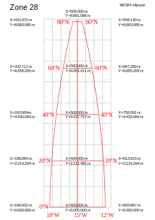
UTM坐标系布局
参考文献
- Chang, Kang-tsung. 9th. McGraw-Hill. 2016: 34. ISBN 978-1-259-92964-9.
This article is issued from Wikipedia. The text is licensed under Creative Commons - Attribution - Sharealike. Additional terms may apply for the media files.