竹子尖山
竹子尖山,或作竹仔尖山,,是臺灣臺南市楠西區梅嶺與南化區交界,海拔1109公尺,名列台灣小百岳。山頂被整建為觀景平台,視野良好,可俯瞰嘉南平原,一旁立有勒石與二等三角點1090號基石
| 竹子尖山 | |
|---|---|
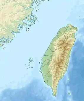
 竹子尖山 竹子尖山在臺灣的位置 | |
| 最高点 | |
| 海拔 | 1,109(3,638英尺) [1] |
| 地形突起度 | 157(515英尺) [2] |
| 23°10′33.3″N 120°33′56″E [1] | |
| 地理 | |
| 位置 | |
| 山脈 | 阿里山山脈 |
| 地质 | |
| 岩石年代 | 中新世晚期[3] |
| 攀山 | |
| 最简路线 | 烏山稜線步道 |
參考資料
This article is issued from Wikipedia. The text is licensed under Creative Commons - Attribution - Sharealike. Additional terms may apply for the media files.