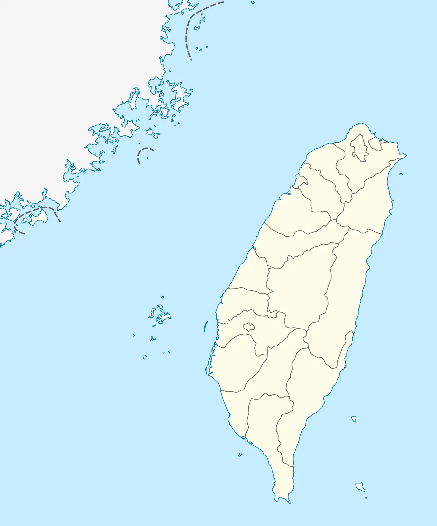
臺灣地理中心
臺灣地理中心,是臺灣地理之中心位置,位於南投縣埔里鎮海拔555公尺虎頭山山頂上,並設有一等三角點。[1]此點也為台灣尚未以現代衛星全球大地測量之前,在台灣地區的大地測量基準參考原點,1906–1997年的此點座標數值為:東經120度58分25.9750秒(東經120.9738819度),北緯23度58分32.3400秒(北緯23.97565度)。在以衛星全球大地測量的1997年台灣大地基準(Taiwan Datums 1997,簡記為TWD97,幾乎等同WGS84),座標為東經120度58分55.2886秒,北緯23度58分25.9486秒。

虎頭山
臺灣地理中心

臺灣地理中心碑
参考文献
This article is issued from Wikipedia. The text is licensed under Creative Commons - Attribution - Sharealike. Additional terms may apply for the media files.