Šarkan
Sárkányfalva | |
|---|---|
Municipality and village | |
 | |
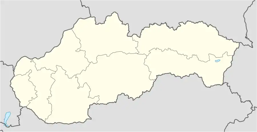 Šarkan Location in Slovakia | |
| Coordinates: 47°52′N 18°34′E / 47.867°N 18.567°E | |
| Country | |
| Region | Nitra Region |
| District | Nové Zámky District |
| Area | |
| • Total | 13.63[1] km2 (5.26[1] sq mi) |
| Elevation | 131[2] m (430[2] ft) |
| Population (2021) | |
| • Total | 369[3] |
| Time zone | UTC+1 (CET) |
| • Summer (DST) | UTC+2 (CEST) |
| Area code | +421 36[2] |
| Website | obecsarkan |
Šarkan (Hungarian: Sárkányfalva) is a village and municipality in the Nové Zámky District in the Nitra Region of south-west Slovakia.
History
In historical records the village was first mentioned in 1247.
Geography
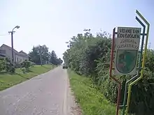
Approach to the village
The municipality lies at an elevation of 150 metres (490 ft) and covers an area of 13.638 km² (5.266 mi²). It has a population of about 353 (2006).
Ethnicity
Facilities
The village has a small public library and a football pitch.
References
- 1 2 "Hustota obyvateľstva - obce [om7014rr_ukaz: Rozloha (Štvorcový meter)]". www.statistics.sk (in Slovak). Statistical Office of the Slovak Republic. 2022-03-31. Retrieved 2022-03-31.
- 1 2 3 "Základná charakteristika". www.statistics.sk (in Slovak). Statistical Office of the Slovak Republic. 2015-04-17. Retrieved 2022-03-31.
- ↑ "Počet obyvateľov podľa pohlavia - obce (ročne)". www.statistics.sk (in Slovak). Statistical Office of the Slovak Republic. 2022-03-31. Retrieved 2022-03-31.
External links
Wikimedia Commons has media related to Šarkan.
47°52′N 18°34′E / 47.867°N 18.567°E
This article is issued from Wikipedia. The text is licensed under Creative Commons - Attribution - Sharealike. Additional terms may apply for the media files.