Branovo | |
|---|---|
Municipality | |
 | |
 Branovo Location of Branovo in the Nitra Region 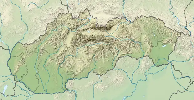 Branovo Location of Branovo in Slovakia | |
| Coordinates: 48°02′N 18°18′E / 48.033°N 18.300°E | |
| Country | |
| Region | Nitra |
| District | Nové Zámky |
| First mentioned | 1418 |
| Area | |
| • Total | 9.321 km2 (3.599 sq mi) |
| Elevation | 130 m (430 ft) |
| Population | |
| • Total | 570 |
| • Density | 61/km2 (160/sq mi) |
| Time zone | UTC+1 (CET) |
| • Summer (DST) | UTC+2 (CEST) |
| Postal code | 941 31 (pošta Dvory nad Žitavou) |
| Area code | 421-35 |
| Car plate | NZ |
| Website | www.branovo.sk |
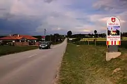
Branovo (Hungarian: Kisbaromlak) is a municipality and village in the Nové Zámky District in the Nitra Region of south-west Slovakia.
History
In historical records the village was first mentioned in 1418.
Geography
The village lies at an altitude of 130 metres and covers an area of 9.321 km². It has a population of about 570 people.
Ethnicity
Facilities
The village has a public library and football pitch.
Genealogical resources
The records for genealogical research are available at the state archive "Statny Archiv in Nitra, Slovakia"
See also
External links
 Media related to Branovo at Wikimedia Commons
- Official website

- https://web.archive.org/web/20070513023228/http://www.statistics.sk/mosmis/eng/run.html
- Surnames of living people in Branovo
- Branovo – Nové Zámky okolie
This article is issued from Wikipedia. The text is licensed under Creative Commons - Attribution - Sharealike. Additional terms may apply for the media files.