 | |
| UTC time | 1926-10-22 19:59:38 |
|---|---|
| ISC event | 910181 |
| USGS-ANSS | ComCat |
| Local date | 22 October 1926 |
| Local time | 21:59 |
| Magnitude | 6.0 Ms |
| Depth | 7 km (4.3 mi) |
| Epicenter | 40°42′N 43°42′E / 40.7°N 43.7°E[1] |
| Areas affected | Turkey, Armenia |
| Max. intensity | IX (Violent) [2] |
| Casualties | 360 |
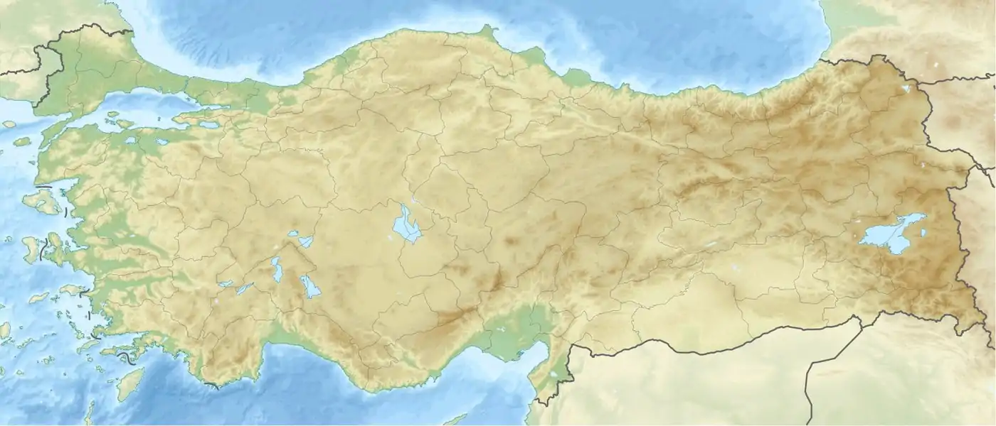
The 1926 Kars/Leninakan earthquake occurred at 21:59 local time on 22 October 1926 in the border area of Soviet Armenia and eastern Turkey. It had a surface wave magnitude of 6.0 and a maximum felt intensity of IX (Violent) on the Mercalli intensity scale, causing 360 casualties. Many buildings in Leninakan and surrounding villages were destroyed or damaged.
The Soviet investigation by the geologist Pyotr Lebedev, published in 1927, noted that the quake could be felt as far away as Yerevan, Tiflis, Batumi and even Sochi, and that aftershocks lasted for several days. He noted that up to 300 people were killed in the quake in Soviet Armenia, with about the same number seriously injured.[3]
See also
References
- ↑ NGDC. "Comments for the Significant Earthquake". Retrieved 28 August 2010.
- ↑ Boğaziçi Üniversitesi. "Bogazici University Kandilli Observatory and Earthquake Research Institute National Earthquake Monitoring Center (NEMC) List of earthquakes 1900–2004 (Büyük Depremler)" (in Turkish). Retrieved 28 August 2010.
- ↑ П. И. Лебедев, “Ленинаканское землетрясение 22 октября 1926 г.”, Известия Академии наук СССР. VI серия, 21:5 (1927), 887–912
This article is issued from Wikipedia. The text is licensed under Creative Commons - Attribution - Sharealike. Additional terms may apply for the media files.