Aït Bouaddou
ⴰⵉⵜ ⴱⵄⵓⴷⴷⵄⵓ أيت بوعدو | |
|---|---|
Commune and town | |
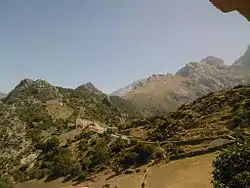
 View of the Djurdjura Range | |
| Nickname: Ath Vouvaddou or Beni Bouaddou | |
 | |
 Aït Bouaddou | |
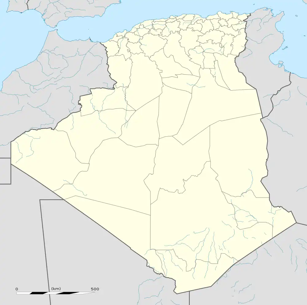
| Coordinates: 36°30′00″N 4°01′00″E / 36.5°N 4.016667°E | |
| Country | |
| Province | Tizi Ouzou |
| District | Ouadhia |
| Area | |
| • Total | 15.2 sq mi (39.3 km2) |
| Population (2008[1]) | |
| • Total | 14,435 |
| Time zone | UTC+1 (CET) |
Aït Bouaddou, also called Ath Vouvaddou or Beni Bouaddou, is a commune in the Ouadhia District of Tizi Ouzou Province in the Kabylie region of Algeria.
Geography
Located near the mountains of Djurdjura, the town has eight villages and about 17,000 inhabitants.
- Aït Djemaa, administrative centre
- Aït Maalem,
- Ibadissen,
- Aït Amar,
- Aït Ouel hadj
- Aït Irane, altitude 813 meters
- Aït Khalfa
- Takherradjit
Localisation
Aït Bouaddou is in the Tizi Ouzou Wilaya southern and is bordered by :
- East : Agouni Gueghrane.
- West : Ath Boughardane (Assi Youcef).
- South : Djurdjura Range.
- North : Tizi N'Tleta.
See also
References
- ↑ Evolution intercensitaire de la population sur le site de la wilaya de Tizi Ouzou Archived 2012-04-25 at the Wayback Machine. Consulté le 25/02/2011
36°30′30″N 4°03′30″E / 36.50833°N 4.05833°E
This article is issued from Wikipedia. The text is licensed under Creative Commons - Attribution - Sharealike. Additional terms may apply for the media files.
.svg.png.webp)