Aït Douala
Larba n’Aït Dwala | |
|---|---|
Commune and town | |
 | |
 | |
 Aït Douala | |
| Coordinates: 36°37′N 4°05′E / 36.617°N 4.083°E | |
| Country | |
| Province | Tizi Ouzou Province |
| District | Béni Douala District |
| Population (2008) | |
| • Total | 21,555 |
| Time zone | UTC+1 (CET) |
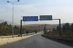
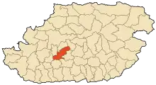
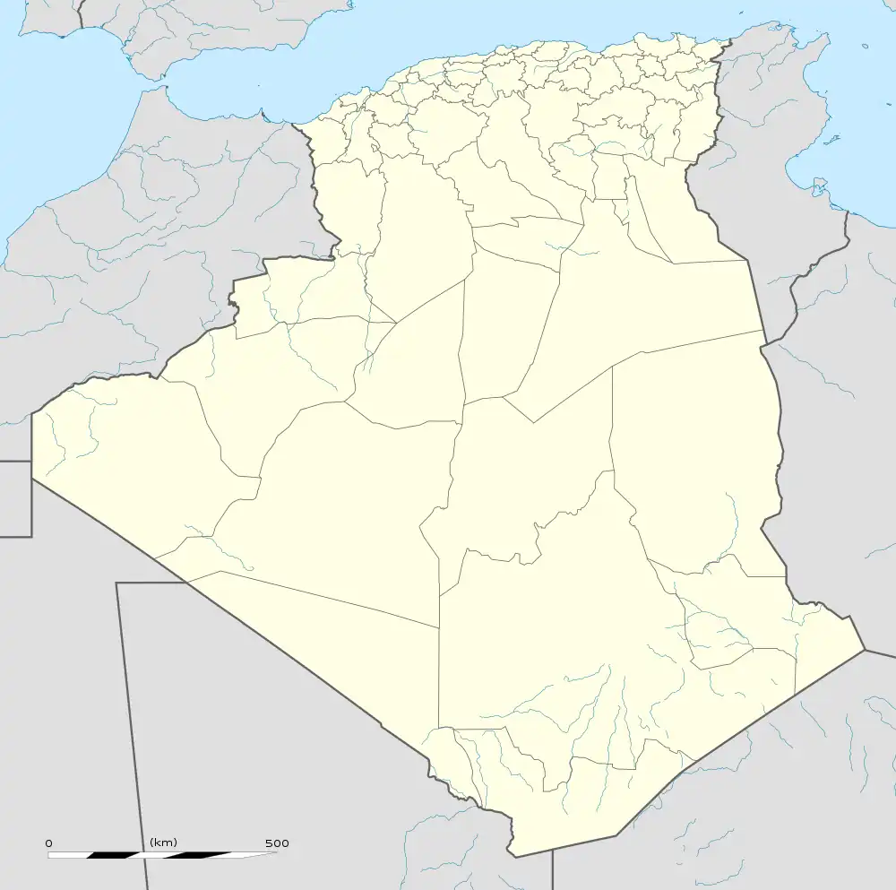
Beni Douala is a town and commune in Tizi Ouzou Province in northern Algeria.[1] At Dwala, or Aït Douala (At Dwala in Kabyle), is located 17 km south-east of Tizi-Ouzou.
Villages in the commune
At its creation, in 1984, the commune of At Dwala was composed of the following eighteen localities.[2] :
- Thala Bounane
- Ighil Bezrou
- Thighzert
- Aguemoun
- Thabarkoukth
- Thamaright
- (Ait Ɛli Waɛli) Aït Ali Ouali
- (Ath Bu Yehya) Ait Bouyahia
- Amsiouene (Amsiwen)
- (Ait Bu Ɛli) Aït Bouali
- Aït Hellal
- (Ait Yidir) Aït Idir
- Ait Mesbah
- Aït Douala
- (Ichardiwen Oufella) Icherdiouene Oufella
- Taguemount Oukerrouch
- (Tamaɣuct) Tamaghoucht (Tamaɣuct)
- Ighil Mimoun
- Taboudrist
- Thaddarth Oufella
- Tala Khelil
- Tchardioune Bedda
References
- ↑ "Communes of Algeria". Statoids. Retrieved December 12, 2010.
- ↑ Journal officiel de la République Algérienne, 19 décembre 1984. Décret No. 84-365, fixant la composition, la consistance et les limites territoriale des communes. Wilaya de Tizi Ouzou, page 1504.
This article is issued from Wikipedia. The text is licensed under Creative Commons - Attribution - Sharealike. Additional terms may apply for the media files.
.svg.png.webp)