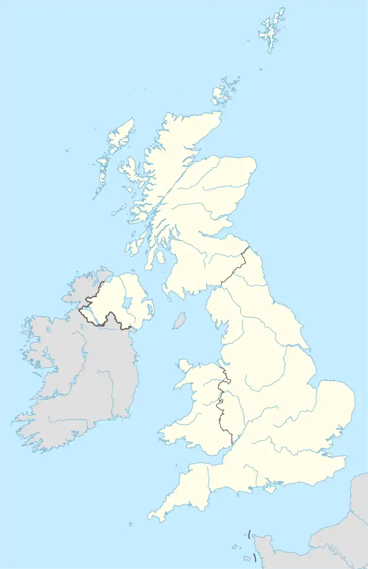
Aghadowey | |
|---|---|
civil parish | |
 Aghadowey | |
| Coordinates: 55°01′44″N 6°38′53″W / 55.029°N 6.648°W |
Aghadowey is a civil and ecclesiastical parish in County Londonderry, Northern Ireland.
Townlands
The parish comprises 66 townlands:[1]
- Aghadowey
- Ardreagh
- Ballinrees
- Ballybritain
- Ballycaghan
- Ballyclough
- Ballydevitt
- Ballygawley
- Ballylintagh
- Ballymenagh
- Ballynacally More
- Ballywillin
- Bovagh
- Caheny
- Carnrallagh
- Carranroe
- Clagan
- Clarehill
- Clintagh
- Collins
- Coolhill
- Cornamuclagh
- Craiglea Glebe
- Craigmore
- Crevolea
- Crosscanley Glebe
- Crossmakeever
- Culdrum
- Cullycapple
- Cullyramer
- Dernagross
- Droghed
- Drumacrow
- Drumeil
- Drumsteeple
- Glenbuck
- Glencurb
- Glenkeen
- Gorran
- Gortin Coolhill
- Gortin Mayoghill
- Keely
- Killeague
- Killykergan
- Kiltest
- Knockaduff
- Landmore
- Lisboy
- Lisnamuck
- Managher
- Mayboy
- Mayoghill
- Meavemanougher
- Meencraig
- Menagh
- Moneybrannon
- Moneycarrie Lower
- Mullaghinch
- Mullan
- Mullinabrone
- Risk
- Rusky
- Scalty
- Seygorry
- Shanlongford
- Tamlaght
See also
References
- ↑ "Parishes of Ulster". Ulster Ancestry. Archived from the original on 21 February 2009. Retrieved 22 February 2009.
This article is issued from Wikipedia. The text is licensed under Creative Commons - Attribution - Sharealike. Additional terms may apply for the media files.