Aka
赤村 | |
|---|---|
 Flag  Emblem | |
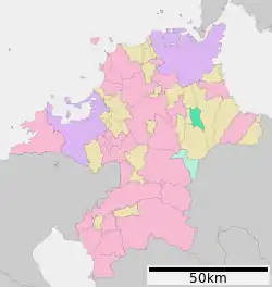 Location of Aka in Fukuoka | |
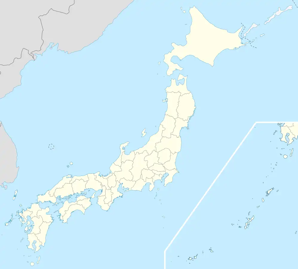 Aka Location in Japan | |
| Coordinates: 33°37′N 130°52′E / 33.617°N 130.867°E | |
| Country | Japan |
| Region | Kyushu |
| Prefecture | Fukuoka |
| District | Tagawa |
| Area | |
| • Total | 32.03 km2 (12.37 sq mi) |
| Population (April 1, 2017) | |
| • Total | 2,960 |
| • Density | 92/km2 (240/sq mi) |
| Time zone | UTC+09:00 (JST) |
| City hall address | 1188 Uchida, Aka-mura, Tagawa-gun, Fukuoka-ken 824-0432 |
| Website | www |
| Symbols | |
| Bird | Zosterops japonicus |
| Flower | Cymbidium goeringii |
| Tree | Citrus junos |
Aka (赤村, Aka-mura) is a village located in Tagawa District, Fukuoka Prefecture, Japan.[1] It is at the foot of Mount Hiko.[2]
As of April 1, 2017, the village has an estimated population of 2,960 and a density of 92 persons per km2. The total area is 32.03 km2.
References
- ↑ "赤村の油須原駅が復元改装 平成筑豊鉄道:朝日新聞デジタル". 朝日新聞デジタル (in Japanese). 2022-03-01. Retrieved 2022-10-21.
- ↑ "Aka Village Special Product Center". VISIT FUKUOKA. Retrieved 2022-10-21.
External links
 Media related to Aka, Fukuoka at Wikimedia Commons
- Aka official website (in Japanese)
This article is issued from Wikipedia. The text is licensed under Creative Commons - Attribution - Sharealike. Additional terms may apply for the media files.