Aldclune
| |
|---|---|
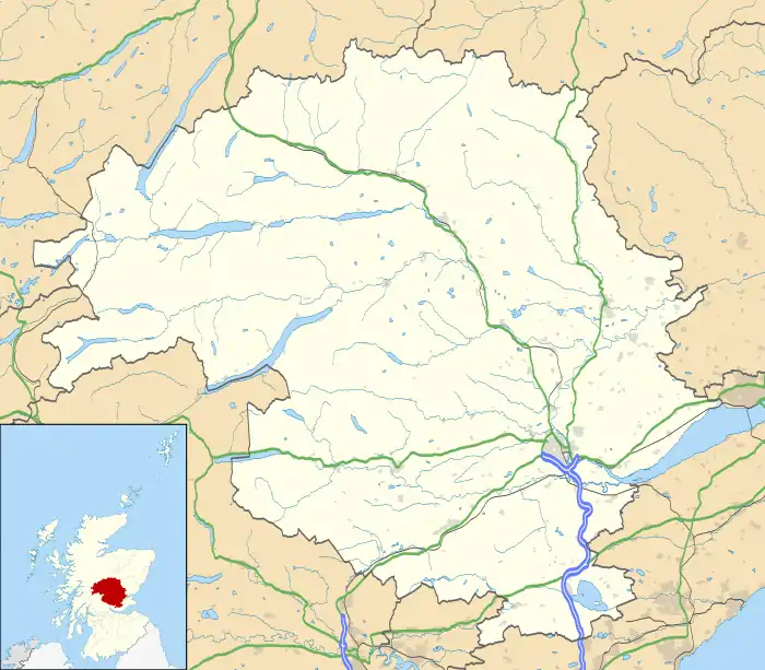 Aldclune Location within Perth and Kinross | |
| OS grid reference | NN897637 |
| Council area | |
| Country | Scotland |
| Sovereign state | United Kingdom |
| Police | Scotland |
| Fire | Scottish |
| Ambulance | Scottish |
Aldclune is a village in Perth and Kinross, Scotland. It is on the B8079 road, approximately 1+1⁄2 miles (2.5 kilometres) east of Blair Atholl, on the north bank of the River Garry.[1] At the eastern edge of the village is the site of the Battle of Killiecrankie, which took place in 1689 during the Jacobite rising of 1689–92.
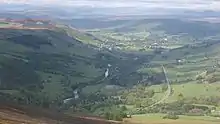
Glen Garry, taken from Meall Uaine, looking past Killiecrankie and Auldclune towards Blair Atholl
References
- ↑ "Braemar and Blair Atholl", Ordnance Survey Landranger Map (C2 ed.), 2008, ISBN 0-319-23119-4
Wikimedia Commons has media related to Aldclune.
This article is issued from Wikipedia. The text is licensed under Creative Commons - Attribution - Sharealike. Additional terms may apply for the media files.