| Allanton | |
|---|---|
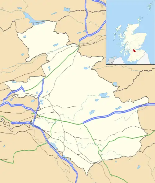
 Allanton Location within North Lanarkshire | |
| Population | 1,140 (mid-2020 est.)[1] |
| OS grid reference | NS8557 |
| Council area | |
| Lieutenancy area | |
| Country | Scotland |
| Sovereign state | United Kingdom |
| Post town | SHOTTS |
| Postcode district | ML7 |
| Police | Scotland |
| Fire | Scottish |
| Ambulance | Scottish |
| UK Parliament | |
| Scottish Parliament | |
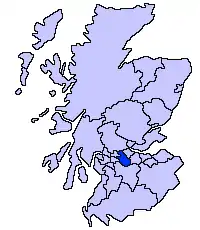
Allanton is a village on the A71, in North Lanarkshire, Scotland.
Allanton Colliery was the last colliery to be built and the first colliery to be taken over by the National Coal Board in 1951.
Allanton Primary school was opened in 1927 and a nursery school added in 1999.
Places nearby include Hartwood (1.3 miles/2.1 km), Newmains (2.3 miles/3.7 km), Shotts (2.8 miles/4.5 km) and Wishaw (4.4 miles/7.1 km).

Street in Allanton
See also
References
- ↑ "Mid-2020 Population Estimates for Settlements and Localities in Scotland". National Records of Scotland. 31 March 2022. Retrieved 31 March 2022.
- RLS Pathfinder Pack on the Coal Industry 1900 - 1950
- http://www.northlanarkshire.gov.uk/index.aspx?articleid=5751 Last accessed [10 March 2013]
External links
Wikimedia Commons has media related to Allanton, North Lanarkshire.
- SCRAN image of Surface layout, Kingshill No.1 Colliery, Allanton, Lanarkshire
- SCRAN image of Oblique aerial view of Loudounhill Sand and Gravel Pit, near Allanton, Lanarkshire
- The Stuarts of Allanton
- North Lanarkshire Council: Allanton Primary School and Nursery class
- Wishaw Press, June 2010, "Allanton Primary School's eco week"
This article is issued from Wikipedia. The text is licensed under Creative Commons - Attribution - Sharealike. Additional terms may apply for the media files.
