Ananás | |
|---|---|
 Flag  Coat of arms | |
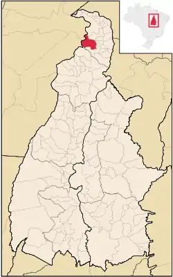 Location in Tocantins state | |
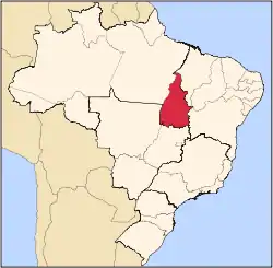
 Ananás Location in Brazil | |
| Coordinates: 6°21′57″S 48°4′22″W / 6.36583°S 48.07278°W | |
| Country | Brazil |
| Region | North |
| State | Tocantins |
| Area | |
| • Total | 1,577 km2 (609 sq mi) |
| Population (2020 [1]) | |
| • Total | 9,492 |
| • Density | 6.0/km2 (16/sq mi) |
| Time zone | UTC−3 (BRT) |
Ananás is a municipality located in the Brazilian state of Tocantins. Its population was 9,492 (2020) and its area is 1,577 km².[2]
The municipality contains 52% of the 18,608 hectares (45,980 acres) Lago de Santa Isabel Environmental Protection Area, created in 2002.[3]
References
- ↑ "IBGE 2020". Retrieved 26 January 2021.
- ↑ IBGE -
- ↑ APA Lago de Santa Isabel (in Portuguese), ISA: Instituto Socioambiental, retrieved 2017-02-08
This article is issued from Wikipedia. The text is licensed under Creative Commons - Attribution - Sharealike. Additional terms may apply for the media files.