Andriievo-Ivanove
Андрієво-Іванове | |
|---|---|
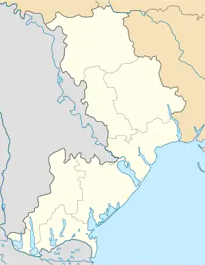
 Andriievo-Ivanove Location in Ukraine  Andriievo-Ivanove Andriievo-Ivanove (Ukraine) | |
| Coordinates: 46°45′06″N 30°20′08″E / 46.75167°N 30.33556°E | |
| Country | |
| Oblast | |
| Raion | |
| Hromada | Rozdilna urban hromada |
| Area | |
| • Total | 0.479 km2 (0.185 sq mi) |
| Elevation | 44 m (144 ft) |
| Population (2001) | |
| • Total | 192 |
| Time zone | UTC+2 (EET) |
| • Summer (DST) | UTC+3 (EEST) |
| Postal code | 67400 |
| Area code | +380-04853 |
| Website | rozdilna-rada |
Andriievo-Ivanove (Ukrainian: Андрієво-Іванове) is a village in Rozdilna Raion of Odesa Oblast (province) of southern Ukraine. It is part of Rozdilna urban hromada, one of the hromadas of Ukraine.[2]
History
Andriievo-Ivanove was founded in 1944 by uniting several farms and inclusion in it by the former Jewish and German agricultural settlements of Shtern (Zorya, Miller, Lambert). In 1924, 67 people lived in Shtern and 202 lived there in 1943.[3] On 1 February 1945, the village took its current name.[4] On 1 September 1946, the village of Andriievo-Ivanove was part of the Bryniv Village Council.[5] On 1 May 1967, the Kirov collective farm was located in Andriievo-Ivanove.[6]
Demographics
According to the 1989 Soviet census, the population of the village was 217 people, of whom 99 were men and 118 women.[7]
According to the 2001 Ukrainian census, 192 people lived in the village.[8]
Languages
According to the 2001 census, the primary languages of the inhabitants of the village were:[9]
| Language | Percentage |
|---|---|
| Ukrainian | 70.83 % |
| Moldovan | 18.75 % |
| Russian | 9.38 % |
| Gagauz | 1.04 % |
References
- ↑ "Andriyevo-Ivanove (Odesa Oblast)". weather.in.ua. Retrieved 12 March 2023.
- ↑ "Раздельнянская городская громада" (in Russian). Портал об'єднаних громад України.
- ↑ В.А. Ауман, В.Ф. Баумгертнер, В. Бретт, Н.Ф. Бугай, Н.А. Варденбург, Ю.А. Петров, В.Г. Чеботарева, А.И. Эрлих (2006). НЕМЦЫ РОССИИ. НАСЕЛЕННЫЕ ПУНКТЫ И МЕСТА ПОСЕЛЕНИЯ. ЭНЦИКЛОПЕДИЧЕСКИЙ СЛОВАРЬ (PDF). Москва. p. 557. Archived from the original (PDF) on 23 January 2022. Retrieved 31 January 2021.
{{cite book}}: CS1 maint: location missing publisher (link) CS1 maint: multiple names: authors list (link) - ↑ "Указ Президії Верховної Ради УРСР від 1.2.1945 «Про збереження історичних найменувань та уточнення … назв … Одеської області» — Вікіджерела". uk.wikisource.org. Archived from the original on 16 July 2020. Retrieved 2020-07-17.
- ↑ M. F. Popivskyi (1947). "Українська РСР: Адміністративно-територіальний поділ (на 1 вересня 1946 року)" [Ukrainian SSR: Administrative-territorial division (as of 1 September 1946)]. resource.history.org.ua. pp. 386, 880, 1035.
- ↑ M. Bragin (1967). "Одеська область: адміністративно-територіальний поділ (на 1 травня 1967)" [Odesa Region: administrative-territorial division (as of 1 May 1967)]. kraeved.od.ua/. p. 113.
- ↑ "Кількість наявного та постійного населення по кожному сільському населеному пункту, Херсонська область (осіб) - Регіон, Рік, Категорія населення , Стать (1989(12.01))". Archived from the original on 2014-07-31. Retrieved 2023-03-12.
- ↑ "Кількість наявного населення по кожному сільському населеному пункту, Херсонська область (осіб) - Регіон , Рік (2001(05.12))". Archived from the original on 2014-07-31. Retrieved 2023-03-12.
- ↑ "Розподіл населення за рідною мовою, Херсонська область (у % до загальної чисельності населення) - Регіон, Рік , Вказали у якості рідної мову (2001(05.12))". Archived from the original on 2014-07-31. Retrieved 2023-03-12.