Native name: 鴨蛋排 | |
|---|---|
 Ap Tan Pai | |
| Geography | |
| Coordinates | 22°33′11″N 114°15′56″E / 22.55311°N 114.26550°E |
| Administration | |
| Districts | North District |
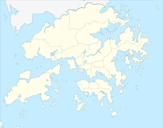
Ap Tan Pai (Chinese: 鴨蛋排) is a reef in the New Territories of Hong Kong. It is located in Ap Chau Bay (鴨洲海; Ap Chau Hoi) of Crooked Harbour, between Ap Chau (鴨洲) to the east and Ap Lo Chun (鴨籮春) to the southwest.[1] It is under the administration of North District.
References
- ↑ GeoInfo Map (Map). Cartography by HKSARG Geospatial Information Hub. Hong Kong Lands Department. Retrieved 12 May 2015.
Wikimedia Commons has media related to Ap Tan Pai.
This article is issued from Wikipedia. The text is licensed under Creative Commons - Attribution - Sharealike. Additional terms may apply for the media files.