Native name: 白沙洲 | |
|---|---|
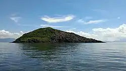 Southwest-facing slope | |
 Pak Sha Chau | |
| Geography | |
| Coordinates | 22°32′29″N 114°19′50″E / 22.541455°N 114.330443°E |
| Administration | |
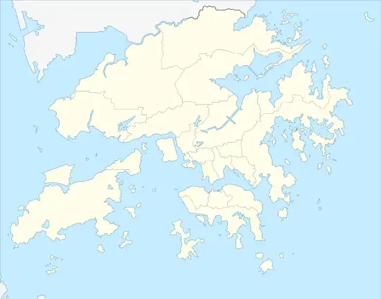
| Districts | North District |
Round Island or Pak Sha Chau (Chinese: 白沙洲; pinyin: Báishā Zhōu) is an uninhabited island of Hong Kong. Administratively, it is part of the North District.
See also
Wikimedia Commons has media related to Pak Sha Chau (North).
This article is issued from Wikipedia. The text is licensed under Creative Commons - Attribution - Sharealike. Additional terms may apply for the media files.