Arnama Lalpur
अर्नामा लालपुर | |
|---|---|
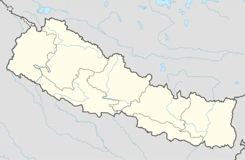 Arnama Lalpur Location in Nepal | |
| Coordinates: 26°42′N 86°17′E / 26.7°N 86.28°E | |
| Country | |
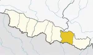
| Zone | Sagarmatha Zone |
| District | Siraha District |
| Elevation | 92 m (302 ft) |
| Population (2011) | |
| • Total | 9,241 |
| Time zone | UTC+5:45 (Nepal Time) |
| Area code | +977-033 |
| Website | ddcsiraha |
Arnama Lalpur is a village development committee in Siraha District in the Sagarmatha Zone of south-eastern Nepal. At the time of the 2011 Nepal census it had a population of 6841 people living in 1255 individual households.[1]
References
- ↑ "National Population and Housing Census 2011(Village Development Committee/Municipality)" (PDF). Government of Nepal. National Planning Commission. November 2012. Archived from the original (PDF) on 2016-12-21. Retrieved 2017-01-26.
External links
This article is issued from Wikipedia. The text is licensed under Creative Commons - Attribution - Sharealike. Additional terms may apply for the media files.