Badagada | |
|---|---|
Village | |
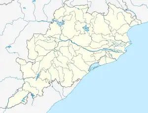
 Badagada Location in Odisha, India  Badagada Badagada (India) | |
| Coordinates: 19°39′N 84°24′E / 19.65°N 84.40°E | |
| Country | |
| State | Odisha |
| District | Ganjam |
| Tehsil | Surada |
| Elevation | 27 m (89 ft) |
| Languages | |
| • Official | Odia |
| Time zone | UTC+5:30 (IST) |
| PIN | 761109 |
| STD telephone code | 06819 |
| Vehicle registration |
|
Badagada (also Bada-Gada) is a semi urban village in the Surada Block of Ganjam district, Odisha, India.
Location
Badagada is located on the banks of the River Jarau, about 16 km from Surada and 68 km from Brahmapur. It is connected by road to Surada and Sheragada by the State Highway 36 (Odisha). It is part of the Surada Assembly constituency and the Aska Parliamentary constituency.
References
Sources
This article is issued from Wikipedia. The text is licensed under Creative Commons - Attribution - Sharealike. Additional terms may apply for the media files.