Balaghat | |
|---|---|
City | |
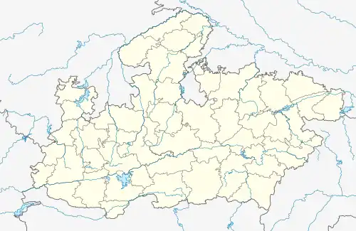 Balaghat Location in Madhya Pradesh, India 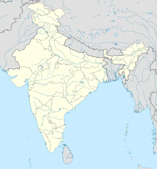 Balaghat Balaghat (India) | |
| Coordinates: 21°48′N 80°11′E / 21.8°N 80.18°E | |
| Country | |
| State | Madhya Pradesh |
| District | Balaghat |
| Government | |
| • Type | Municipal Council |
| • Body | Balaghat Municipal Council |
| Area Balaghat | |
| • Total | 25 km2 (10 sq mi) |
| Elevation | 288 m (945 ft) |
| Population (2011) | |
| • Total | 84,261 |
| • Density | 3,400/km2 (8,700/sq mi) |
| Languages | |
| • Official | 1)Hindi (Primary) 2)English (Additional) (Gondi language primary language for schedule tribes people's ) Pawari language (caste language of parmar's people) Chattisgarhi language (speaking in northeastern part of balaghat) Marathi language (speaking in south part of balaghat) |
| Time zone | UTC+5:30 (IST) |
| PIN | 481001 |
| ISO 3166 code | IN-MP |
| Vehicle registration | MP-50 |
| Website | balaghat |
Balaghat is a city and a municipality in Balaghat district, in the state of Madhya Pradesh, India. It is the administrative headquarters of Balaghat District. Wainganga River flows beside the town.
Geography
Balaghat is located at 21°48′N 80°11′E / 21.800°N 80.183°E.[1] It has an average elevation of 288 metres (944 feet).
Demographics
As of the 2011 Census of India,[2] Balaghat had a population of 84,216. Males constitute 51% of the population and females 49%. 11% of the population is under 6 years of age.
References
- ↑ Falling Rain Genomics, Inc - Balaghat
- ↑ "Census of India 2001: Data from the 2011 Census, including cities, villages and towns (Provisional)". Census Commission of India. Archived from the original on 16 June 2004. Retrieved 1 November 2008.
Further reading
This article is issued from Wikipedia. The text is licensed under Creative Commons - Attribution - Sharealike. Additional terms may apply for the media files.