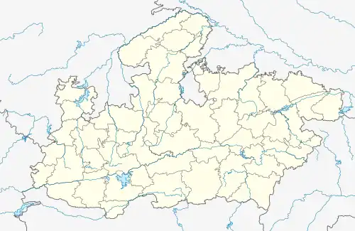
Damua
camp | |
|---|---|
town | |
 Damua Location in Madhya Pradesh, India  Damua Damua (India) | |
| Coordinates: 22°12′59″N 78°28′49″E / 22.2164°N 78.4804°E | |
| Country | |
| State | Madhya Pradesh |
| District | Chhindwara |
| Population (2011) | |
| • Total | 15,856 |
| Languages | |
| • Official | Hindi |
| Time zone | UTC+5:30 (IST) |
| ISO 3166 code | IN-MP |
| Vehicle registration | MP |
Damua is a census town in Chhindwara district in the state of Madhya Pradesh, India.
Demographics
As of 2001 India census,[1] Damua had a population of 15,856. Males constitute 52% of the population and females 48%. Damua has an average literacy rate of 73%, higher than the national average of 59.5%: male literacy is 79% and, female literacy is 66%. In Damua, 10% of the population is under 6 years of age.
Damua has now declared as a new municipality in Chhindwara. Damua is a basically divided in three parts.
- Nandan (Kalichhapar)
- Nandora
- Chikatbary
Schools in Damua and Nandan
- Govt Higher Secondary School, Nandan.
- Govt boys school, Damua.
- Govt Girls school, Damua.
- L.B.S High school English medium Nandan.
Nearest park and hill station from Damua.
- Satpuda national park.(panchmarhi). Panchmarhi Satpuda park.
- Pench national park (Seoni, Chhindwara)
Town in Damua Range
1. Damua 2. Nandan 3. Kalichhapar 4. Chikatbary 5. Gop. 6. Dhahu 7. Kangla Bhakra 8. Raijamun 9. Rakhikol and various small towns in Damua and Nandan range.
Nearest Railway Station
Hirdhagrah & Junnardeo
Ghoradongri (Nagpur-itarsi section)
River
Kanhan River
Famous Temple and Mosque
Shidhnath Dham (sidhbaba tekri), Khedapati mata mandir
Jama Masjid Damua
Media
Newspapers: Damua's local News paper is Khan Majdoor Chhindwara has a few print publications which include Hindi newspapers such as, Dainik Bhaskar, Lokmat Samachar, Patrika, Jabalpur Express, Divya Express.
Radio: There are few FM stations broadcasting from Chhindwara: Vividh Bharati and Gyan Vani.
Transport
The nearest airport is in Nagpur and Jabalpur and the nearest Railway station is Hirdagarg and Junnardeo
See also
References
- ↑ "Census of India 2001: Data from the 2011 Census, including cities, villages and towns (Provisional)". Census Commission of India. Archived from the original on 16 June 2004. Retrieved 1 November 2008.
Sources
- www.damuacity.hpage.com