Balboa Terrace | |
|---|---|
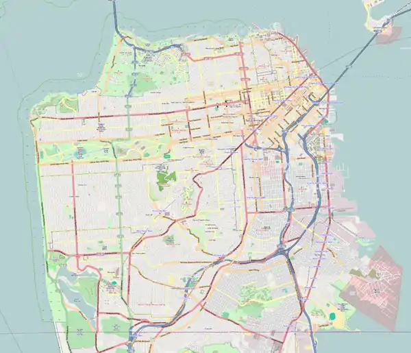
 Balboa Terrace Location within San Francisco  Balboa Terrace Location within San Francisco  Balboa Terrace Location within Northern California | |
| Coordinates: 37°43′53″N 122°28′07″W / 37.7313°N 122.4687°W | |
| Country | |
| State | |
| City | San Francisco |
| Government | |
| • Supervisor | Norman Yee |
| • Assemblymember | Phil Ting (D)[1] |
| • State Senator | Scott Wiener (D)[1] |
| • U.S. House | Eric Swalwell (D)[2] |
| Area | |
| • Total | 0.24 km2 (0.092 sq mi) |
| • Land | 0.24 km2 (0.092 sq mi) |
| Population (2016)[3] | |
| • Total | 839 |
| • Density | 3,500/km2 (9,100/sq mi) |
| Time zone | UTC-8 (Pacific Time) |
| • Summer (DST) | UTC-7 (Pacific Daylight Time) |
| ZIP Code | 94127 |
| Area codes | 415/628 |
Balboa Terrace is a small residential neighborhood in southwestern San Francisco. It is bounded by Junipero Serra Boulevard, Monterey Avenue, Aptos Avenue and Ocean Avenue along the southern edge of the exclusive St. Francis Wood development.[4]
References
- 1 2 "Statewide Database". UC Regents. Archived from the original on February 1, 2015. Retrieved December 29, 2014.
- ↑ "California's 14th Congressional District - Representatives & District Map". Civic Impulse, LLC.
- 1 2 "Balboa Terrace neighborhood in San Francisco, California (CA), 94127". City-Data.com.
- ↑ Project, Western Neighborhods. "Balboa Terrace". www.outsidelands.org. Retrieved 2023-08-20.
This article is issued from Wikipedia. The text is licensed under Creative Commons - Attribution - Sharealike. Additional terms may apply for the media files.
.svg.png.webp)