| Barna Dam | |
|---|---|
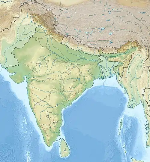
 Location of Barna Dam in India | |
| Country | India |
| Location | Bari tehsil in Raisen district, Madhya Pradesh |
| Coordinates | 23°03′04.91″N 078°03′45.13″E / 23.0513639°N 78.0625361°E |
| Status | Operational |
| Opening date | 1978 |
| Dam and spillways | |
| Type of dam | Gravity |
| Impounds | Barna River |
| Height | 47.7 m (156 ft) |
| Length | 432 m (1,417 ft) |
| Elevation at crest | 352.7 m (1,157 ft) |
| Width (crest) | 4.6 m (15 ft) |
| Reservoir | |
| Total capacity | 539,000,000 m3 (437,000 acre⋅ft) |
| Active capacity | 455,800,000 m3 (369,500 acre⋅ft) |
| Catchment area | 1,176 km2 (454 sq mi) |
The Barna Dam is a gravity dam on the Barna River in Badi tehsil Raisen district, Madhya Pradesh, India. Barna river is a major tributary of the Narmada River. It is about 100 km (62 mi) east of Bhopal.[1] Dam was constructed by Madhaya Pradesh Water Resource Department. The primary purpose of the dam is irrigation and it was completed in 18.oct.1978.[2]
References
- ↑ "Barna Water Resource Project of Madhya Pradesh, India : An Environmental Impact Assessment" (PDF). AJES. 2007. Archived from the original (PDF) on 19 December 2013. Retrieved 9 August 2013.
- ↑ Singh, Sharad K. Jain, Pushpendra K. Agarwal, Vijay P. (2007). Hydrology and water resources of India. Dordrecht: Springer. pp. 551–552. ISBN 978-1402051807.
{{cite book}}: CS1 maint: multiple names: authors list (link)
This article is issued from Wikipedia. The text is licensed under Creative Commons - Attribution - Sharealike. Additional terms may apply for the media files.